Uncategorized

Spring Sunset

Earlier this week I received a new Canon 90D which is an exciting new addition to the arsenal and today I decided to slap it on the ol 500mm Orion EON spotting scope and take it out for a spin. It’s a crop sensor camera with a crop factor of 1.6x which will give me an effective focal length of 800mm. That will come in handy next month when I travel to Texas to experience the Great American Total Eclipse. The nerves are starting to ramp up as the big day nears, my biggest concern will be weather conditions, it would be an absolute travesty to be under a sea of cloud cover as this astronomical event unfolds. For now, more target practice and fine tuning.

Fall Sports in Santa Barbara: A Journey Through Triumphs and Failures

Sports photography is the perfect marriage of things I love dearly, athletics and imagery. Sports photography is a thrilling, exciting, and exhausting field that aims to capture the raw emotion and intensity of athletes competing at their very best. The excitement of being on the sidelines is palpable, stemming from the energy of the crowds and anticipation of the next big play all contribute to the atmosphere of pure unadulterated emotions. Serendipitously, I met a sports writer for the Santa Barbara Independent who was looking to add another photographer to the independent’s stable photographers. Admittedly, I was hesitant given my obligations to graduate school and work but I had always been interested in dabbling in sports photography. I have been learning a lot about low-light photograph, while I fantasized about upgrading my Canon 5D Mark II to a more modern camera body, it has taught me how to be resourceful under terrible lighting conditions. Perhaps 2024 will be the year to upgrade to a second camera, I have had the pleasure of working with talented photographers from other news organizations and have always envied newer camera bodies with AI-enabled autofocus. While not all photographs submitted make in the online stories, they all contribute to a story, a story created but student-athletes that felt increasingly nostalgic as the season progressed. I decided to share a few images that may have not made into print but that made an impression on me. After a short break, I am already looking forward to winter sports, which include basketball, soccer, and wrestling. Truth be told, I very much look forward to Track and Field in the Spring.

Central America 2023: A Blend of Adventure and Relaxation

I recently returned from a trip to Central America, which included Belize and Guatemala. The two countries are very different, but they both offer something special for travelers and adventure-seekers alike. Belize is well-known for its beautiful beaches, lush jungles, and amazing snorkeling and diving, while Guatemala is home to ancient Mayan ruins, stunning volcanoes, and vibrant cultures.

The trip started in Belize, with a few days of relaxation on the beach in Hopkins and Placencia under a blistering sun. While exploring Caye Caulker, I went on a two-day snorkeling tour of the expansive coral reef Marine Reserve and the Sting Ray Alley with the folks at Apache Tours. The ocean water was crystal clear, and the visibility and company were amazing on both days out on the water. There were all sorts of colorful tropical fish, including my favorite blue tangs, stingrays, and even a few nurse sharks. Among my favorite activities in Belize was exploring the rich Mayan history and culture, which included a day-long tour of the famed Actun Tunichil Muknal (ATM) cave, where Mayans made offerings to the gods of rain (Chaac) and fertility (Ixchel) and where they eventually began ritualistic ceremonies involving human sacrifices (No cameras were allowed; a previous tourist dropped a camera on an ancient skull, thanks jerk). Another great stop to explore Mayan ruins was Xunantunich, near the city of St. Ignacio. I was fascinated by the sheer scale and precision of many of these temples that once overlooked a thriving and expansive empire.

I was also fortunate enough to spend time exploring the ancient Mayan city of Tikal in Guatemala. Hiking to the top of the temples (The Great Jaguar Temple & Temple of the Gods), exploring the ruins, and learning about the Mayan culture. It was an amazing experience from start to finish.

I had an incredible time in Central America and definitely recommend visiting if you’re looking for an adventure-filled vacation.

Here are just a few scenes from a much-needed and memorable trip:

Interesting marketing strategies.

A very angry Spider Monkey as we entered Tikal National Park.

A hidden local gem for authentic Belizian food on Caye Caulker.

Ms. Meldy serves the best food on the Island of Caye Caulker. Hands down.

The Great Jaguar Temple.

Temple of the Gods.

Xunantunich. The humidity here was bananas.

Delta IV Heavy Launch — NROL82

“Salute to our front-line medical workers! In harm’s way to keep us healthy while we fight to keep America safe.”

Fifty miles northwest of Santa Barbara lies Vandenberg Air Force Base (VAFB), home of the 30th Space Wing.  The 30th Space Wing is charged with performing space launches for both civilian and government entities. Of interest, the 30th Space Wing is soon to be retired (in name only) as it becomes converted/incorporated by the United States Space Force.  One such government agency is the National Reconnaissance Office (NRO), headquartered in Chantilly, Virginia.  The NRO, whose motto is, “Supra Et Ultra” (Above and Beyond) is the intelligence agency charged with designing, building, and operating spy satellites for the United States intelligence community including the Central Intelligence Agency (CIA), providing signals intelligence for the National Security Agency (NSA), imagery intelligence for the National Geospatial-Intelligence Agency (NGA) and measurement and signature intelligence to the Defense Intelligence Agency (DIA).  The NRO has a classified budget, however, it is widely speculated that the NRO budget is sustainably larger than any other intelligence agency.  When the United States needs eyes and ears in critical places where no human can reach, either over the most rugged terrain or through the most hostile territory the United States intelligence community relies on the NRO.  The NRO uses a variety of satellites to meet specific mission requirements, from small satellites, to more traditional, lager satellites.  It’s safe to say that the NRO maintains global coverage against a wide range of intelligence requirements, research, development, as well as the capability in assisting in emergency and disaster relief efforts. 

United States Department of Defense officials along with other members of the launch team during final vehicle inspection.

In conjunction with United Launch Alliance (ULA) and the 30th Space Wing, the NRO launched a classified payload from VAFB’s Space Launch Complex 6 (SLC-6) high atop a 233 foot two-stage Delta IV Heavy rocket.  ULA’s Delta IV Heavy rocket is currently the most powerful rocket in the world capable of delivering a 31,000-pound payload into geostationary orbit or up to a 62,000-pound payload into low-earth orbit.  The Delta IV Heavy is comprised of three common booster core tanks that are constructed of isogrid aluminum barrels, spun-formed aluminum domes and machined aluminum tank skirts. The Delta IV booster propulsion is provided by three variable thrust RS-68A engine systems which uses cryogenic -423 degree liquid hydrogen (LH2) and -273 degree liquid oxygen (LOX).  When operating a maximum power the three RS-68A engines each generate a whopping 705,250 pounds of thrust at sea level for a combined 2.1 million pounds of thrust, consuming an astounding 5,000 pounds of LH2 and LOX per second.  As a result of the extreme fuel temperature’s the booster’s cryogenic tanks are insulated with a combination of spray-on or bond-on insulation and helium-purged insulation blankets.  The booster is controlled by the avionics system which provides guidance and flight control.  The second stage booster is a delta cryogenic second stage that fuels a single RL10B-2 engine with both LH2 and LOX to produce 24,750 pounds of thrust. The RL10B-2 is ultimately responsible to delivering the payload to its final orbital destination following the separation of the three common core boosters.

On April 26th, 2021, VAFB, NRO, and ULA successfully launched a clandestine reconnaissance payload from SLC-6, concluding ULA’s 13th Delta IV Heavy launch in its history.  I was fortunate enough to be granted base access to photograph the launch, both from a nearby viewing location on launch day, as well as the ability to have access to SLC-6 the day before to setup remote camera near the launch pad.  These cameras were equipped with sound-activated noise triggers that captured the images the mighty Delta IV Heavy lifting off launch pad. Many thanks to the folks at VAFB for being excellent and professional stewards.

Liftoff.
All gas. No brakes.
Throttle up.

Douglas Family Preserve Photowalk

Sometimes, the best thing going on in the midst of a worldwide pandemic is grabbing a friend and a camera to see a sunset and the moon. As Jim Morrison often sang, “Let’s swim to the moon.”

Volcanic 50

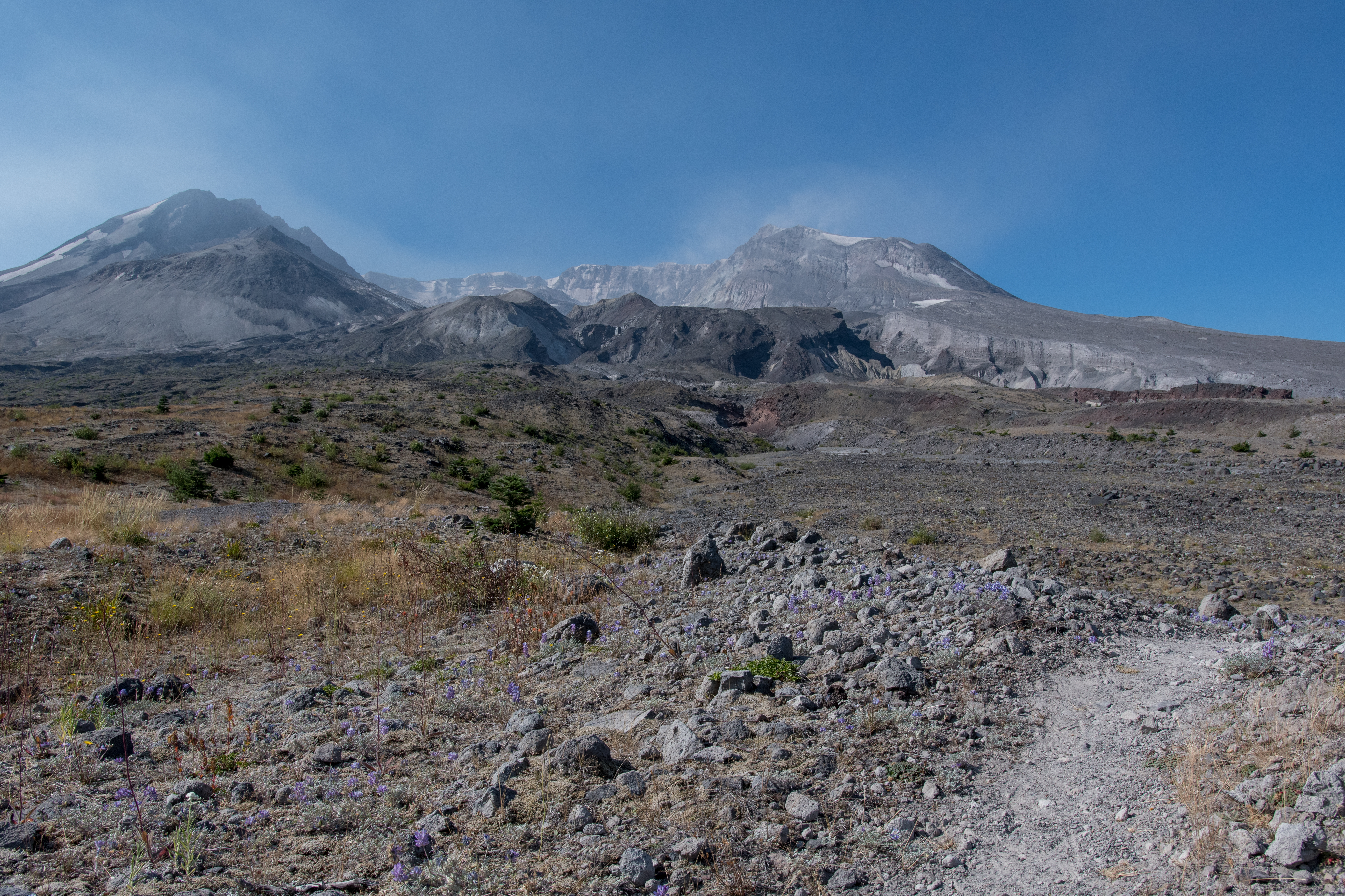
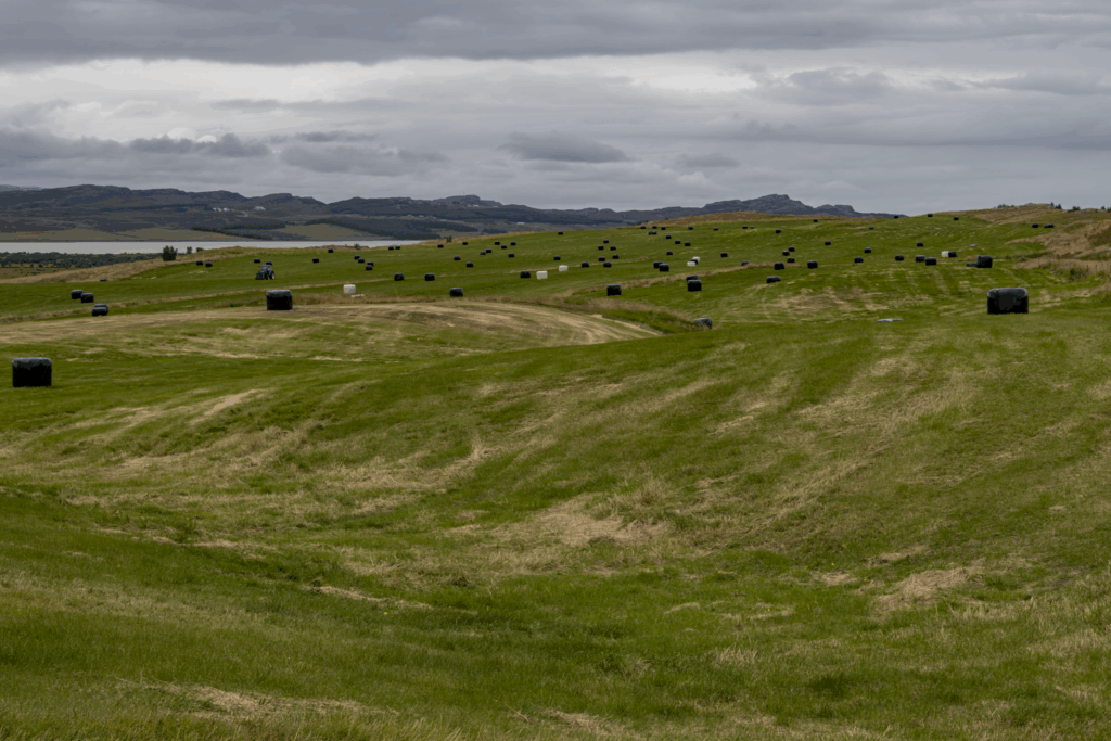
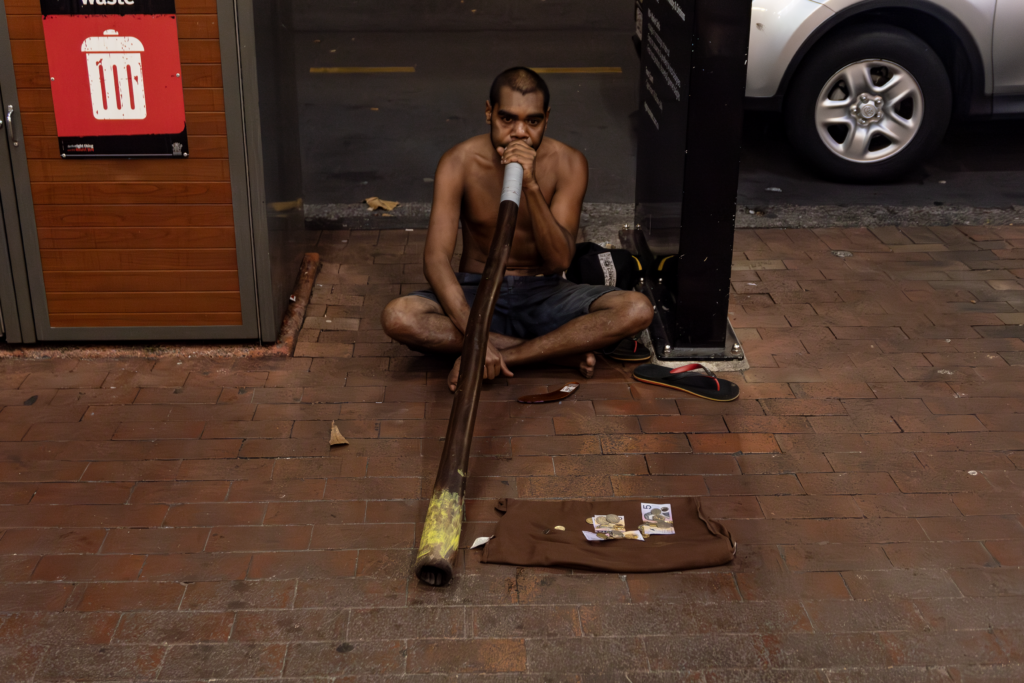
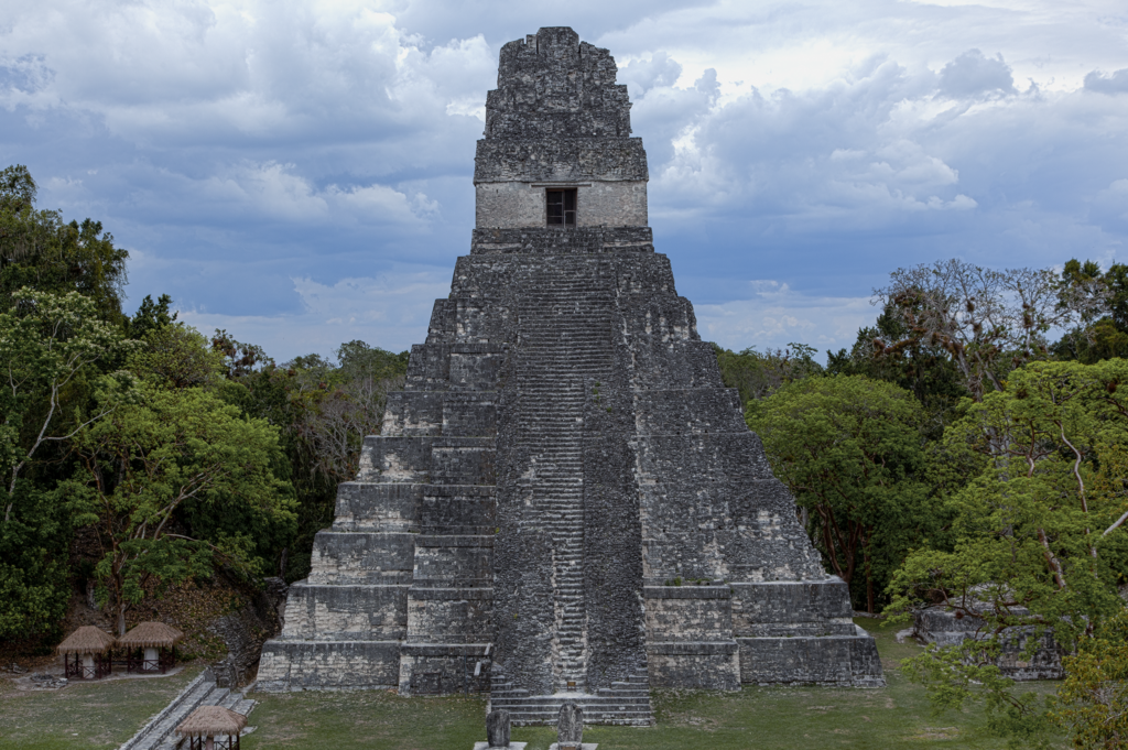
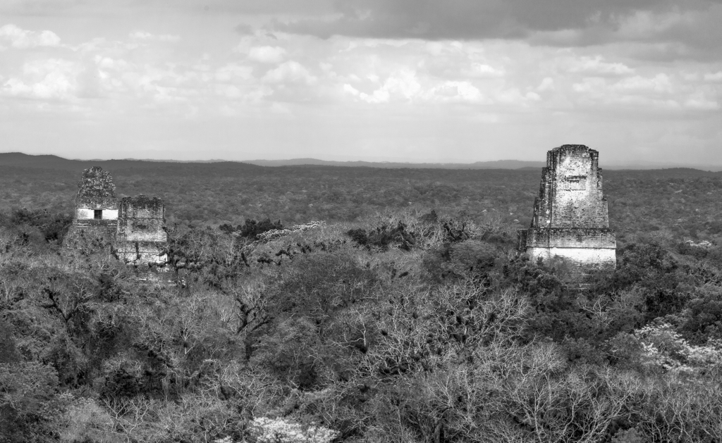
Northern slope of Mt. St. Helens.

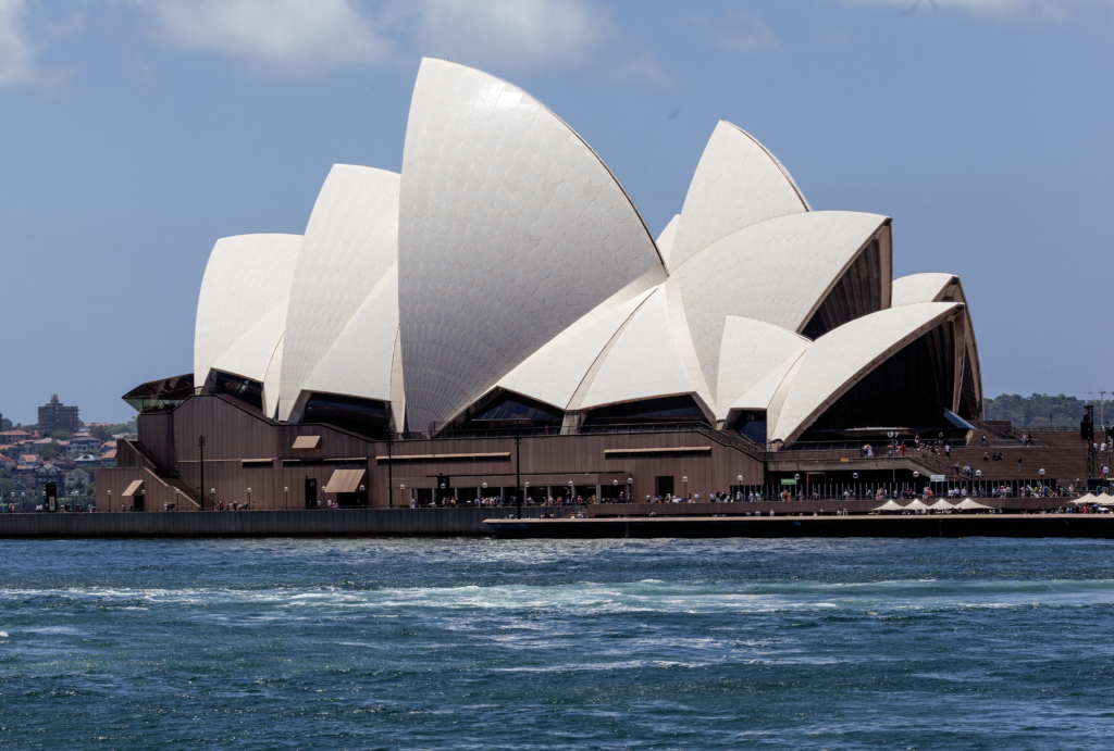
Volcanic 50 is a 50km ultra trail race, organized by Go Beyond Racing that circumnavigates beautiful Mt. St. Helens.  I choose this event to enjoy a race outside of California, and experience a unique course leading up to Mountain Lakes 100 in late September. Heading into the event I felt fit and healthy, I was thoroughly enjoying spending time on the trails with friends and my training had been progressing injury-free.  After spending a few recreational days exploring Echo Lake I took a short Thursday evening flight from San Francisco to Portland where I picked up my rental car and drove an hour to my hotel for the night.  On Friday, the day before Volcanic 50, I arrived at the event site located at Marble Mountain with plenty of time to relax and take in the scenery before Saturday’s race.

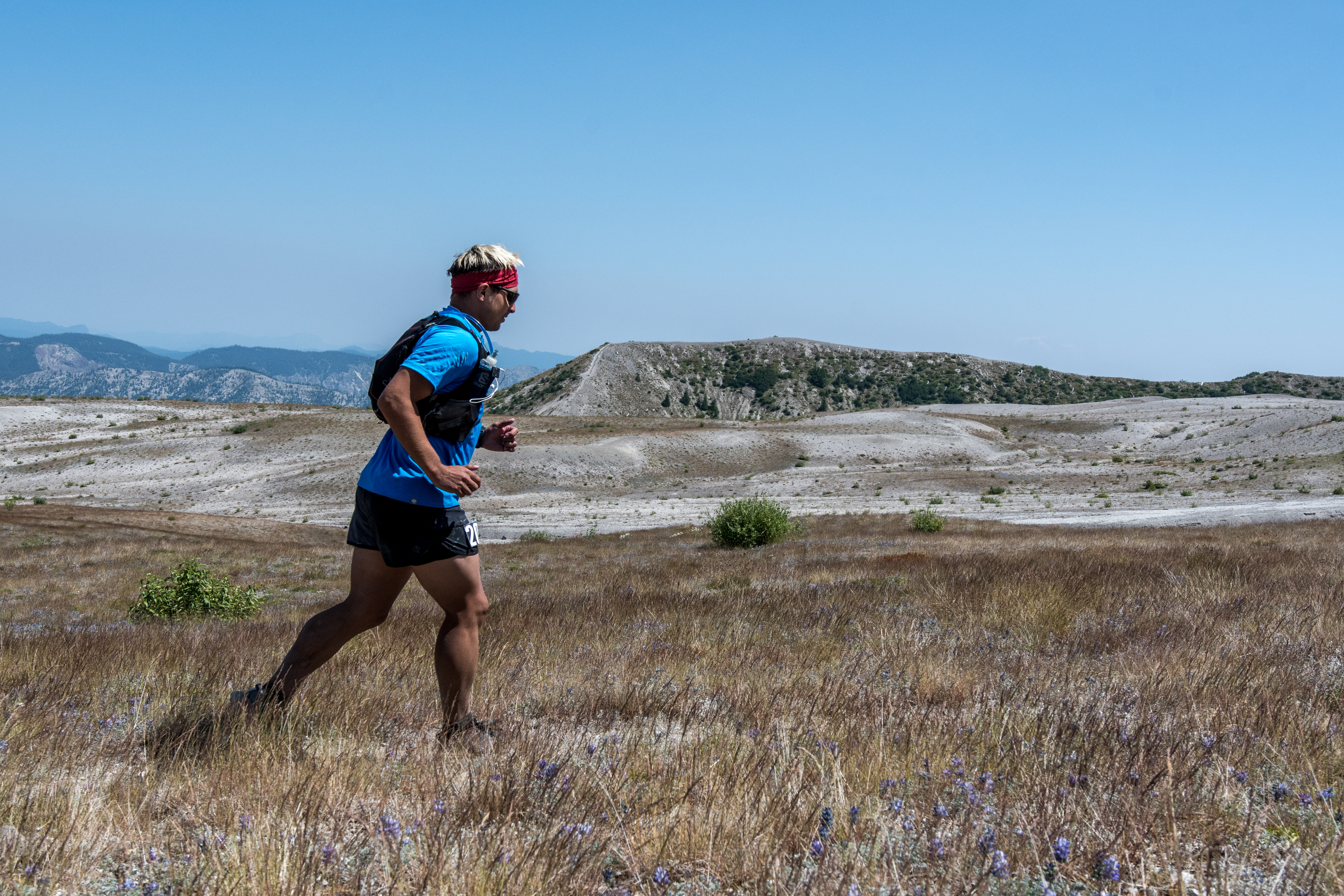
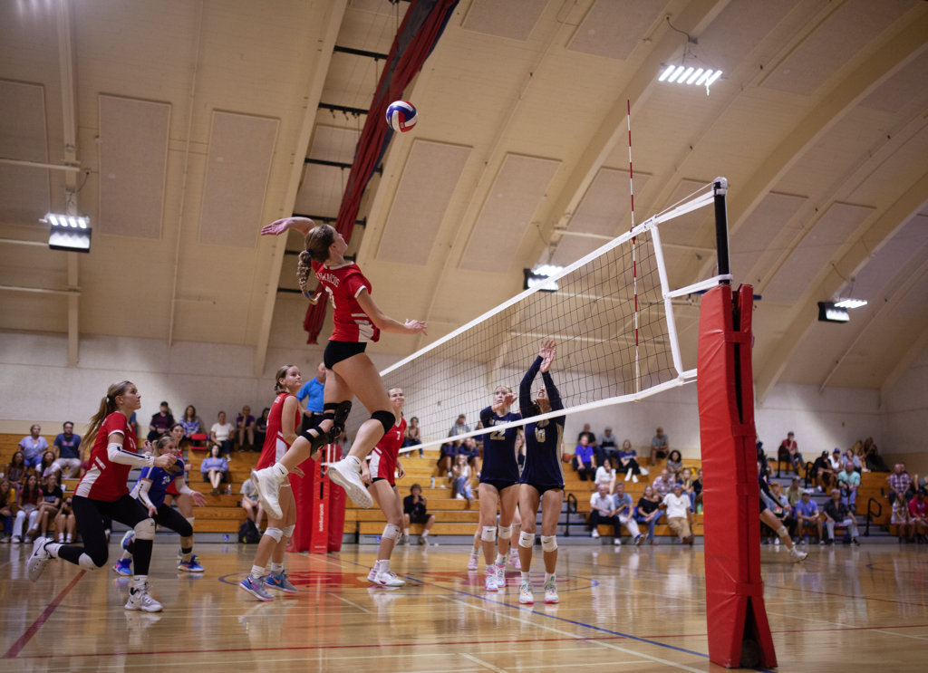
Race day started out well, after checking in at 530am I ate a small breakfast and finished preparing for the event, eventually walking over with the masses to the starting coral at 645am for the race directors pre-race instructions and well-wishes.  The race started out on a relatively short 2,000 ft climb that covered miles 0 to 4, after-which the course leveled out and traversed a boulder field that at first was an amusing novelty, however, later became a complete nightmare.  During this initial climb up to Loowit trail we were afforded brief views of the volcano through trees as we arrived at mile 4 and the first aid station.  Here, I quickly ate PB&J sandwiches and S-caps to help blunt what was forecasted to be a toasty day.  After leaving the aid station in good spirits I made my way towards aid station 2, positioned 8 miles away.

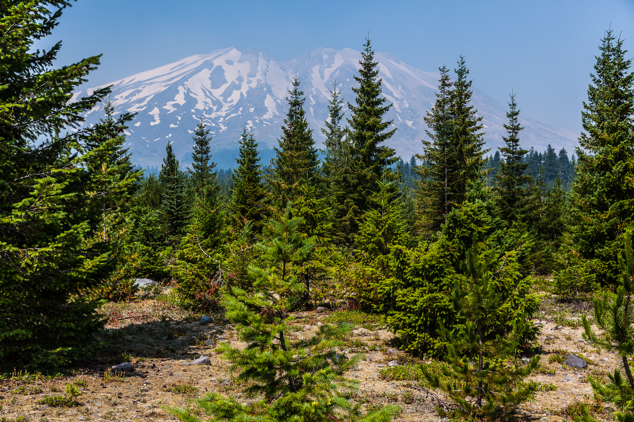
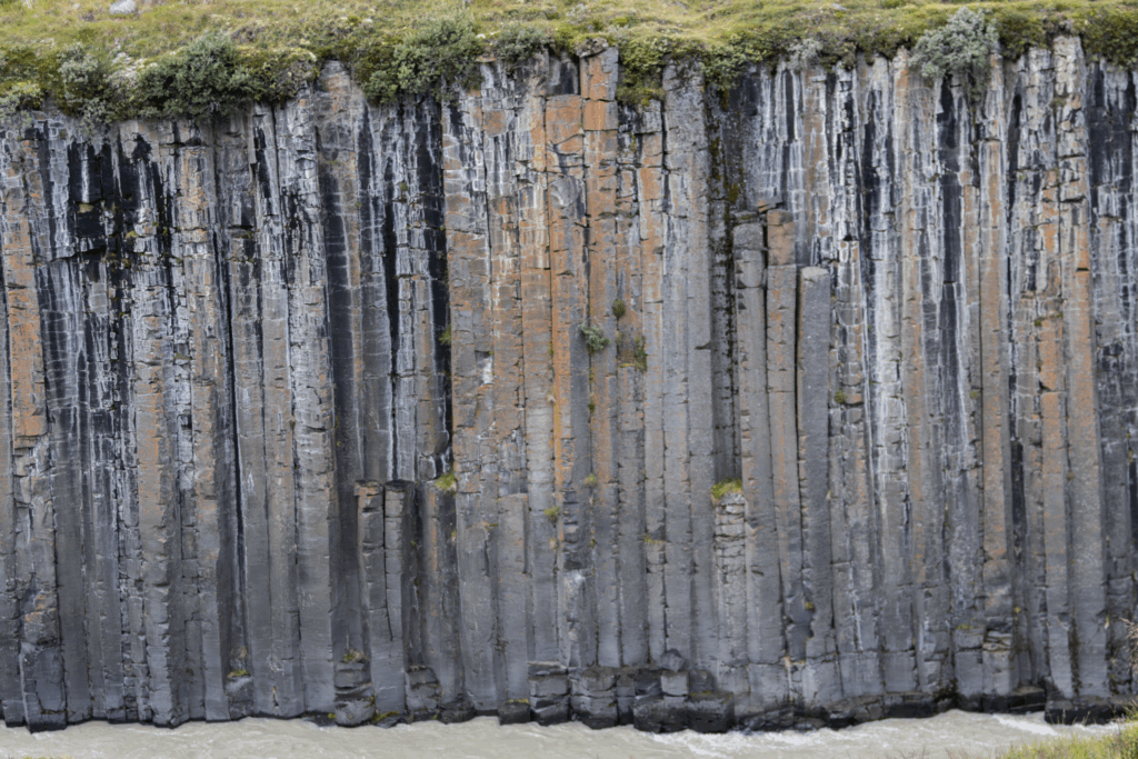
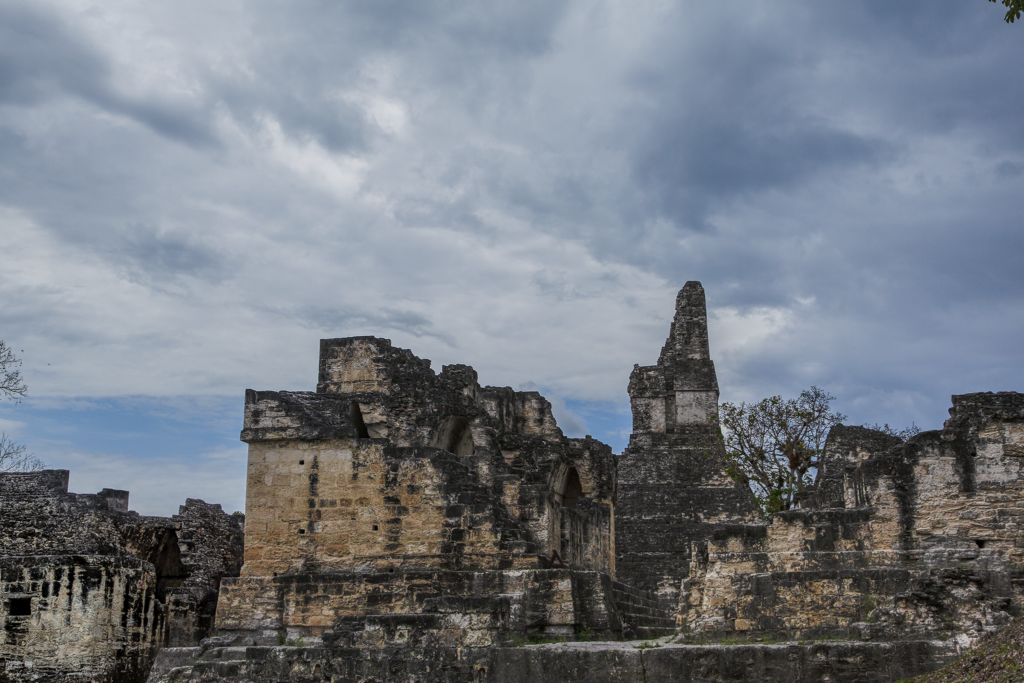
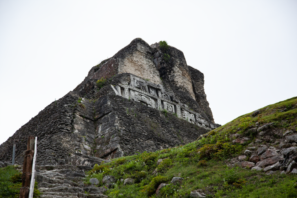
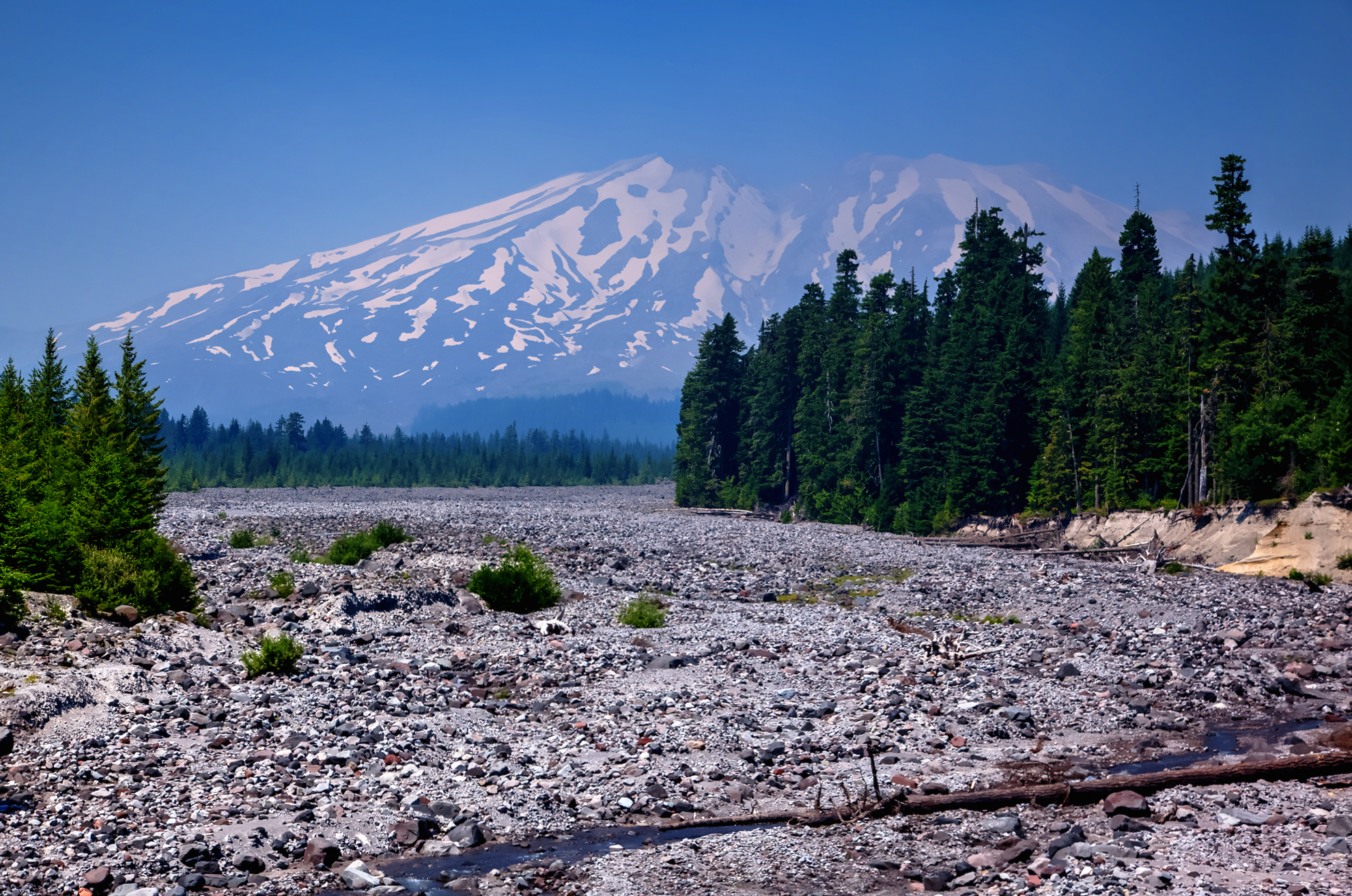
Southern slope of Mt. St. Helens.

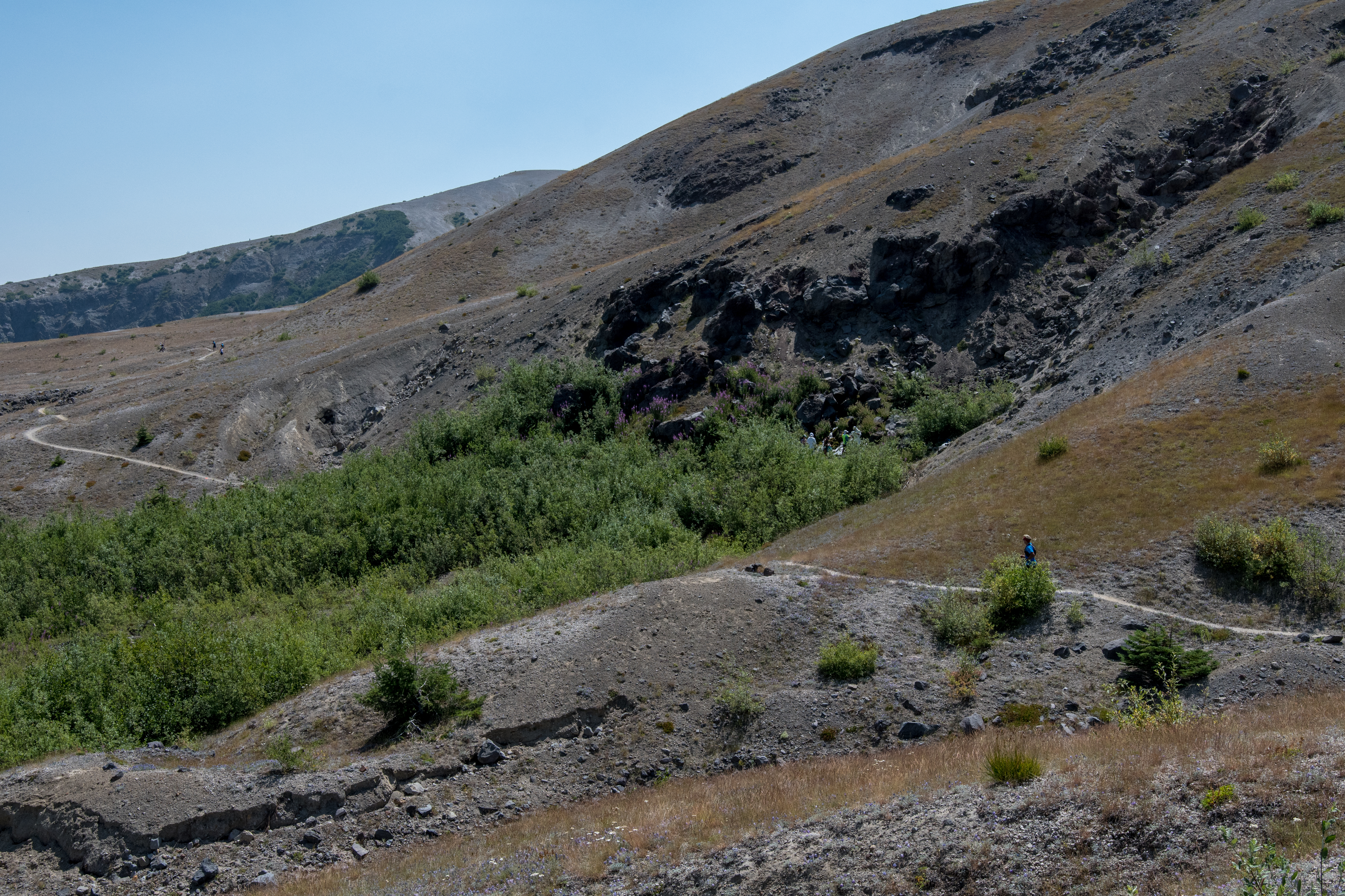
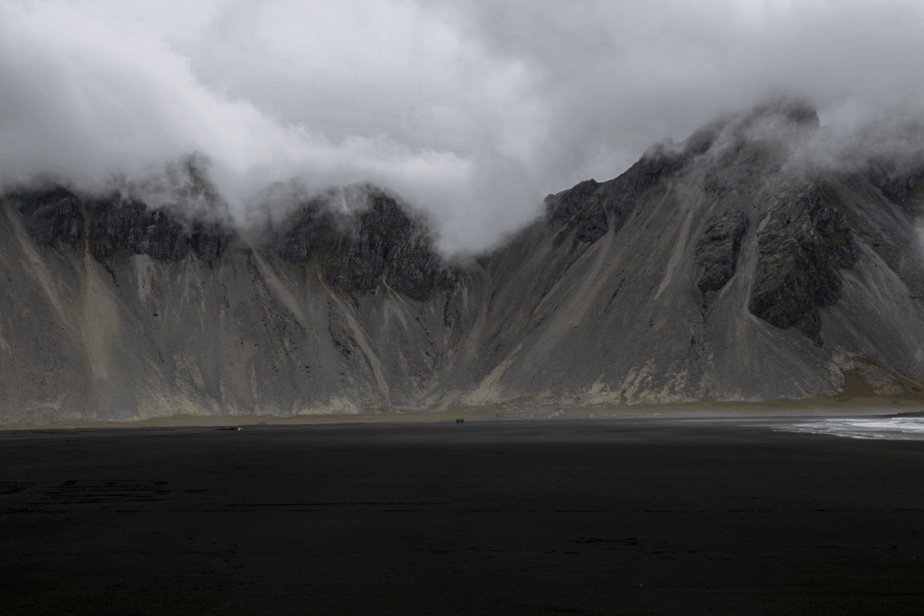
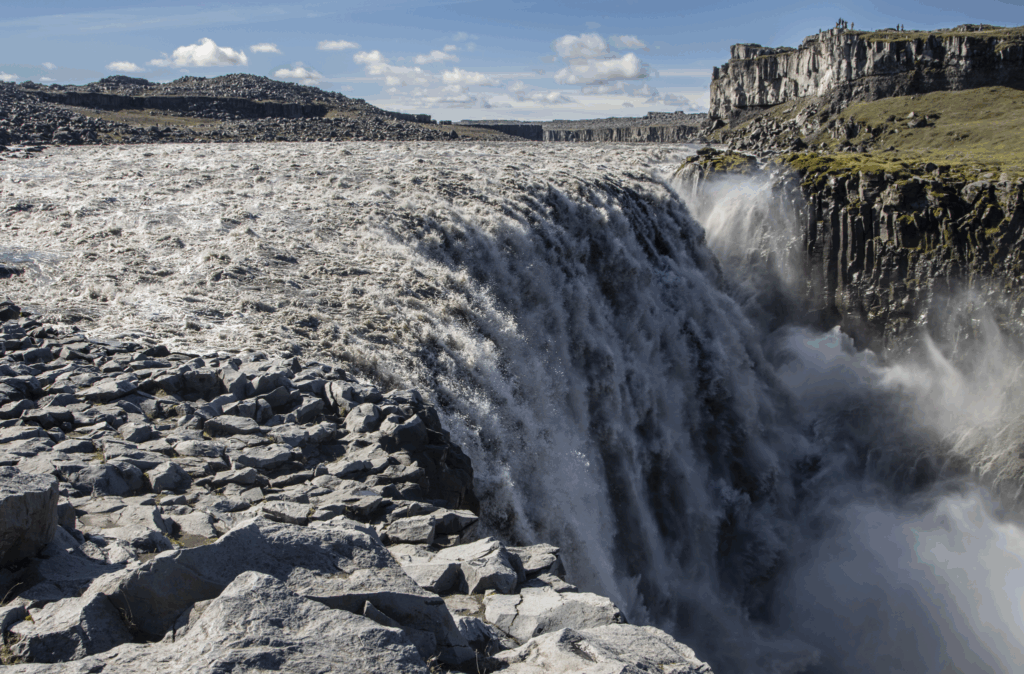
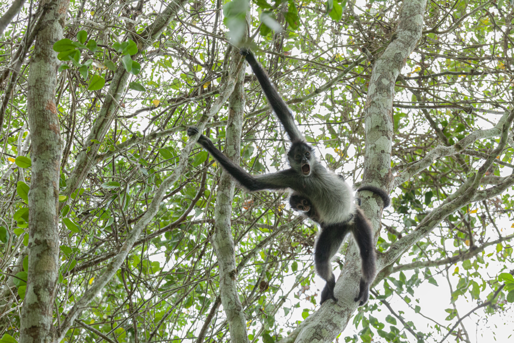
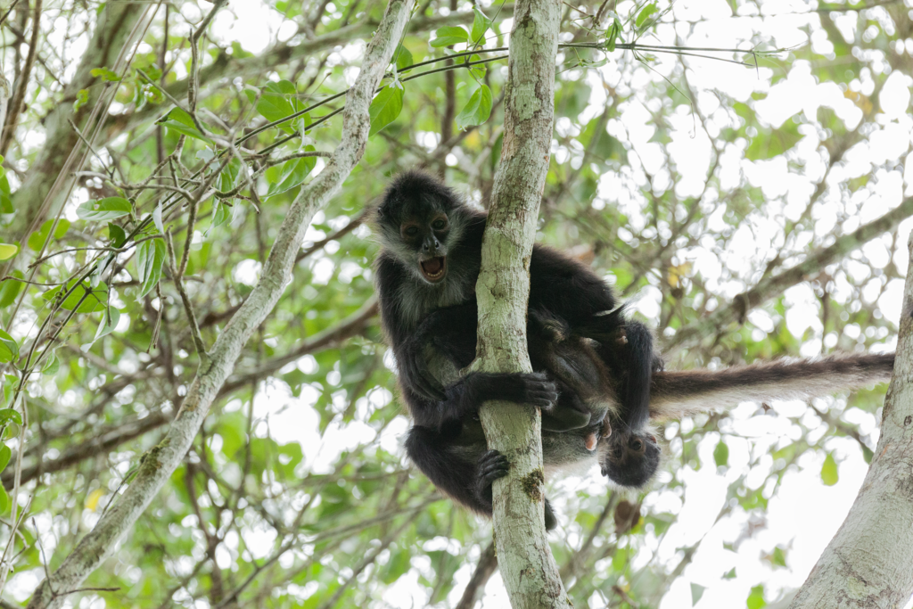
The course between aid station 1 and 2 was deceptively smooth and tranquil, by this time the traffic jam at the start had thinned out, and the elevation profile was relatively flat or downhill.  In retrospect, I wish I had slowed down, but thought, its 32 miles, that’s just a sizable training run, I can floor it (relatively speaking) while its still cool, and so I did.  We wound our way through miles of forested terrain until arriving at aid station 2, 12 miles into the race.   Here, I ate more of the usual aid station foods, thanked the wonderful volunteers and headed out towards aid station 3, 8.2 miles away.  Little did I know that immediately after leaving aid station 2 the true difficulty of course would begin to reveal itself.  Less than 100 yards away from aid station 2, we headed down a rather large, gravel filled ravine that required both a water crossing and the use of anchored ropes to descend and ascend.  I dreaded getting my shoes soaked and then having to continue to run across rugged volcanic terrain.  Once we emerged from the ravine we climbed over the next 2 miles on loose, sandy terrain that was only about a foot and a quarter wide alongside a rather steep embankment.  This was probably the most memorable part of the race as we became up close and personal with the beginnings of the northern slope of Mt. St. Helens (the side reorganized in the massive 1980 eruption).  After reaching the northern slope of the volcano temperatures noticeably began to rise as the course guided us across the barren side Mt. St. Helens.

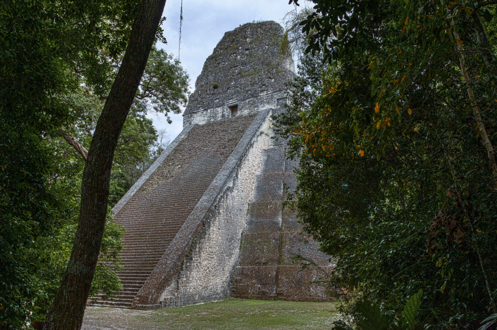
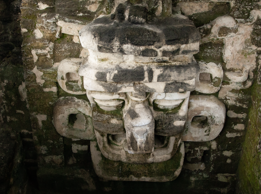
Mt. St. Helens from Lahar lookout point.

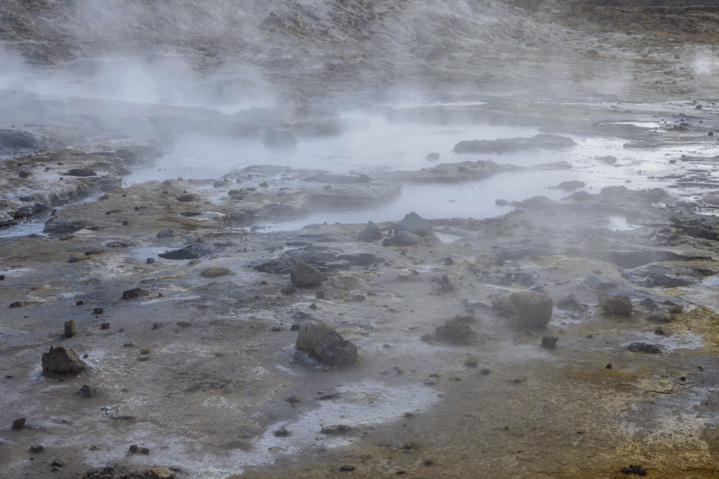
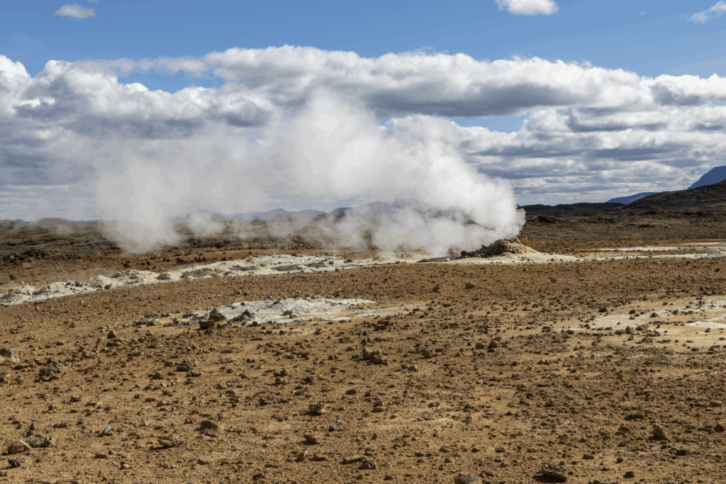
The northern side of Mt. St. Helens still bears geological scars that continue to dominate the landscape, the scene was so spectacular that I stopped several times to appreciate the magnitude of what happened on May 18th, 1980.  The scope of damaged landscape from the powerful pyroclastic flow  were clearly evident as the entire northern slope of the mountain was ripped open by the blast.  On this day, large waterfalls rushed millions of gallons of snowmelt off the north face and venting volcanic gases filled the distant air from a very active and growing lava dome.  Back to the race, as I trekked across the north side of the mountain the course traversed what looked like the surface of the moon, gentle rolling hills became increasingly challenging under the brutal 93 degree sun.

Nearing the spring of life aid station.

A swath of green in a landscape of brown as a result of rushing spring water.

At this juncture, I was a hair under halfway through the course, yet I began to accept that I was in for a long and difficult day.  The last two miles to aid station 3 were especially quite miserable as a result of dehydration and caloric depletion.  Indeed, three miles after leaving aid station 2, I had ran out of water, making the remaining 5.2 miles to the aid station 3 an eternity, however,  through tough love and encouraging words from fellow runners I arrived at aid station 3, “the spring of life.”  The supplies here were minimal as we were advised during the pre-race instructions, but still very much appreciated.  This aid station was staffed by NASA suited volunteers equipped with water pitchers that collected the most glorious natural spring water on the planet.  After was seemed liked never ending miles in the heat the feeling of being doused with refreshing, ice-cold water slowly began to revitalize me as I uncomfortably swallowed more S-caps and trail butter.

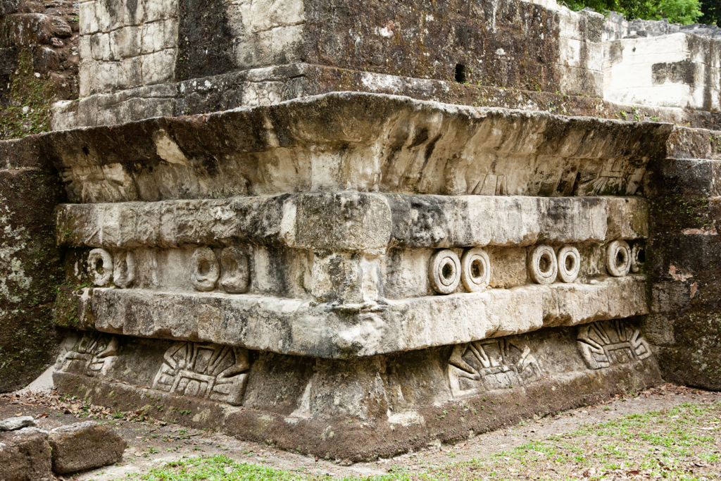
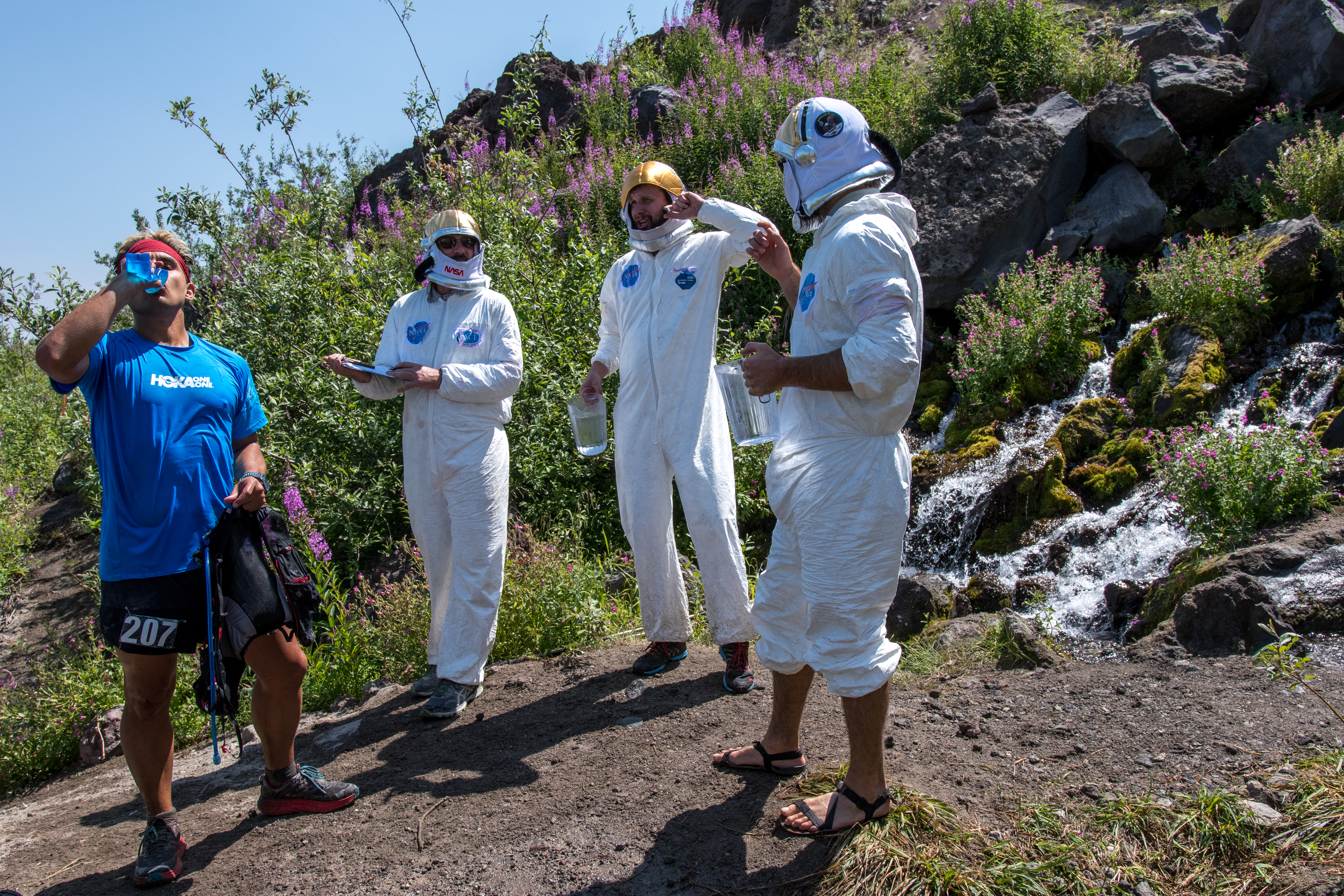
Aid station 3, “the spring of life” and NASA-certified bros.

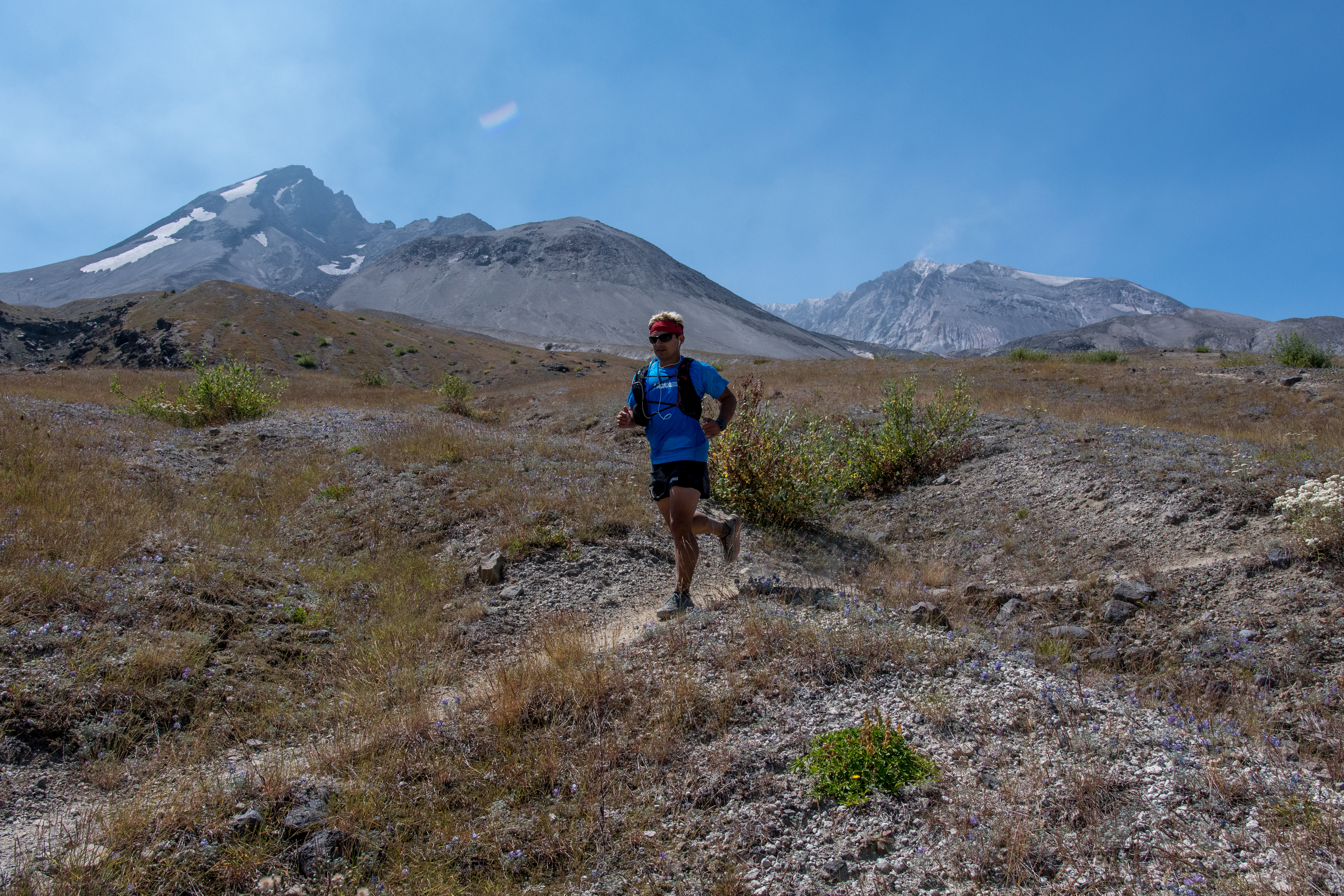
Psychologically, seeing runners arrive at this oasis was comforting, it served as a critical reminder that I was not alone, this was a difficult course on a difficult day.  I watched runners arrive for several minutes as I continued to sit quietly on a volcanic rock (there are millions on this course) waiting to recoup enough energy to begin the trek to the next and final aid station.  I also took a few extra minutes before leaving and untied my shoes to examine my feet, shaking out the sand and rocks that had accumulated. Lastly, before leaving the spring of life, I topped off my water supply and slowly began to shuffle my way towards aid station 4, located 3.4 miles away.  It wasn’t far before I hit the proverbial wall a second time.  Luckily, I came across two wonderful race photographers who were kind enough to offer words of encouragement at a difficult time mentally.  As I hunched over seeking a moment of reprieve I recall uttering fragments of incoherent sentences as they continued to photograph the scenery and other runners. I distinctly recall one of the photographers saying, “we’ve so been there! are you questioning your life decisions right about now?” I thought, how can she hear my thoughts?  While I was trying to catch my breath, I had a direct line of sight to the next climb that needed to be negotiated in order get to the last aid station, the sight alone elicited a strong urge to let out a loud profanity-laced scream, but there were other individuals on the course struggling as I was, thus I opted against adding to what felt like humiliation.  As I unwillingly shuffled my feet on the trail heading towards the climb I said to the photographers, “I don’t know how I’m going to get over that ridge” and one replied, “you don’t know how, but you will.”

Heading towards the final aid station.

Slowly but surely I made my way up through the switchbacks eventually summiting the ridge, gasping for oxygen in the suffocating heat.  When I reached the summit, I looked back down towards the photographers who had turned into small dots on the landscape with a sense of elation, although I had no idea how I was going to get over that ridge under the circumstances I somehow managed to, and I thank them for it.  Heading down the ridge offered more rocky unstable terrain, endless ups and downs came and went, but my confidence began turn around on an emotional rollercoaster of a day. Finally, after hours of desert-like heat and negative thinking that, “this is going to be my first DNF,” I made it to the last aid station and only cutoff, well ahead of the 4pm deadline.  Here, I spent extra time in the shaded tent savoring several delicious pickles, PB&J sandwiches, oranges, Pringles, and more S-caps.  Finally, after eating and waiting for my heart rate to slow down, I decided it was time to tackle the last 8.5 miles and left aid station 4 on my way towards a difficult finish.

The last 8 miles of the race were nothing short of a mental slugfest.  The last section of Volcanic 50 offered up two very challenging features, one was the seemingly excessive amounts of lahars that had to be traversed, these constant ups and downs appeared to keep runners from finding any sort of rhythm.  Under different circumstances these lahars wouldn’t have caused concern, however, on this day, at this juncture they proved to be problematic.  Rocky, unstable sections became increasingly difficult to navigate.  I remember constantly looking towards Mt. St. Helens for feedback, noting familiar features that let me know I was nearing the finish line.  The second challenging feature was an almost mile long ankle-snapping boulder field that we were warned about during the pre-race instructions.  However, after the boulder field it was simply a left turn and downhill for 1.5 miles to the finish line on a smooth trail under the cover of shade.  Unfortunately, about 300 yards away from the infamous, “left-turn” I lost my hearing and began to experience blurred vision.  I was aware that my body was physiologically shutting down, so I sat down on a very uncomfortable volcanic rock that was close enough to see the turn downhill and began to dry heave.  Two women, who were out hiking were kind enough to talk sense into me about taking my time finishing.  I slowly drank more water and electrolytes, forcefully ate small salted potatoes (thank you runner kind enough to share) and waited in the shadows of the rock until my muscles somewhat stopped cramping before I proceeded to cross the remaining boulder field to the left turn.  I ended up crossing the finish line 12 hours after I begun, in a race that packed over 7,000 of elevation gain in 32 miles on a course that simultaneously humbled and inspired me.

Volcanic 50 turned out to be a unique experience on a historical site that offered spectacular views of other stratovolcanoes on the Cascade Range, namely Mt. Rainier, Mt. Adams, Mt. Jefferson, and Mt. Hood.   Symbolically, on land that was obliterated decades ago, new signs of life were emerging, small tree shrubs and wildflowers now dot a landscape that was once strangulated by volcanic debris, much like individuals who struggled through the 2017 edition of Volcanic 50.

Lastly, a very heartfelt thank you to all the volunteers who were gracious enough be out in the elements for hours on end in order to support all the runners.  The photographers for helping to capturing the journey and of course the race directors who organized and executed a one of a kind race.

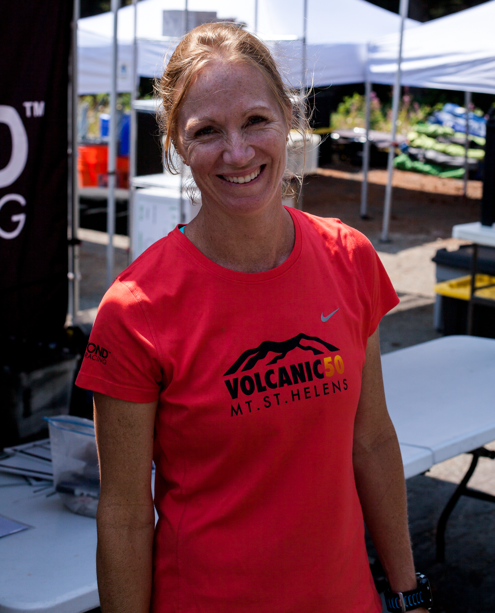
Renee Seker, race director.

Echo Lake

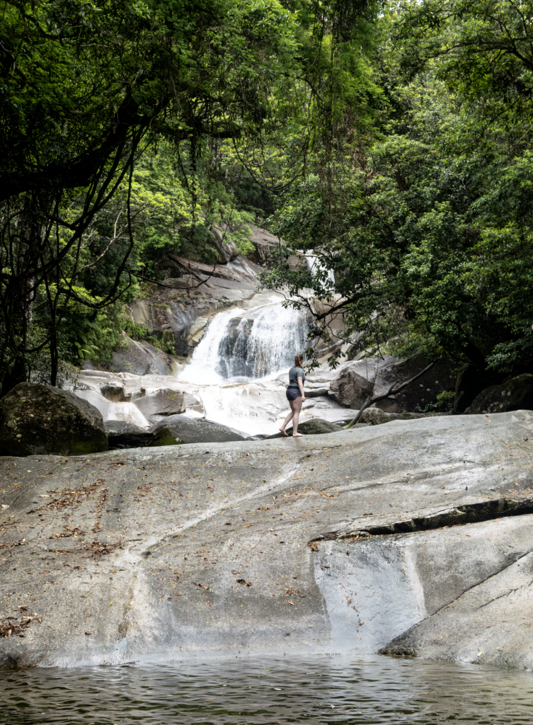
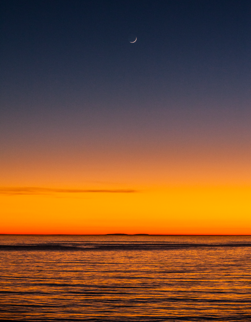
Echo Lake via picture point.

Leading up to my Volcanic 50 race on Mt. St. Helens I spent a few days at Echo Lake relaxing, exploring, and getting training runs in before heading out to Washington.  The oxygen in the atmosphere was noticeably reduced compared to the levels I’m used to in Santa Barbara, it took me a day or so to get accustomed to moving under these conditions.   Echo Lake is a glacial lake located near south Lake Tahoe at 7,400 ft of elevation, and is divided into upper Echo Lake (lake nearest in the image above) and lower Echo Lake (lake furthest in the image above).  This slice of paradise is one of the last stops before heading into Desolation Wilderness.  During my stay here I was lucky enough to experience rugged, yet beautiful terrain on the Pacific Crest Trail (PCT).

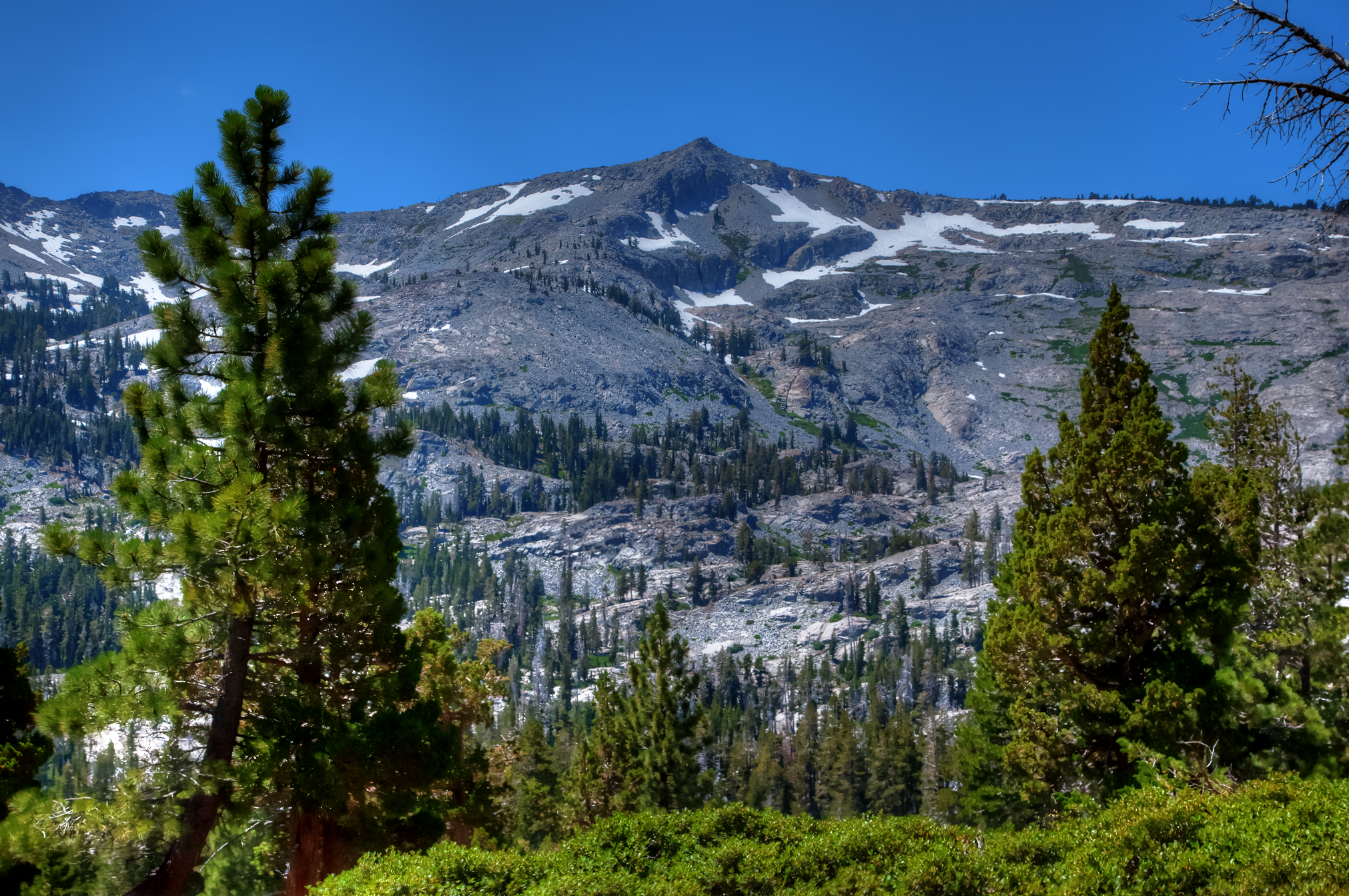
Ralston peak; elevation 9,300ft.

Several lakes surround Echo Lake which make  detours off the PCT a most welcome adventure. The first venture was to Triangle Lake, on the way to this small lake there were plenty of snow mounds left over from a relatively intense winter season.  Indeed, I later discovered water was overflowing the Echo Lake dam as a result of the large amount of snow melt.  On this very warm summer day the trek to Triangle Lake was filled with mosquito’s and towering pine trees.

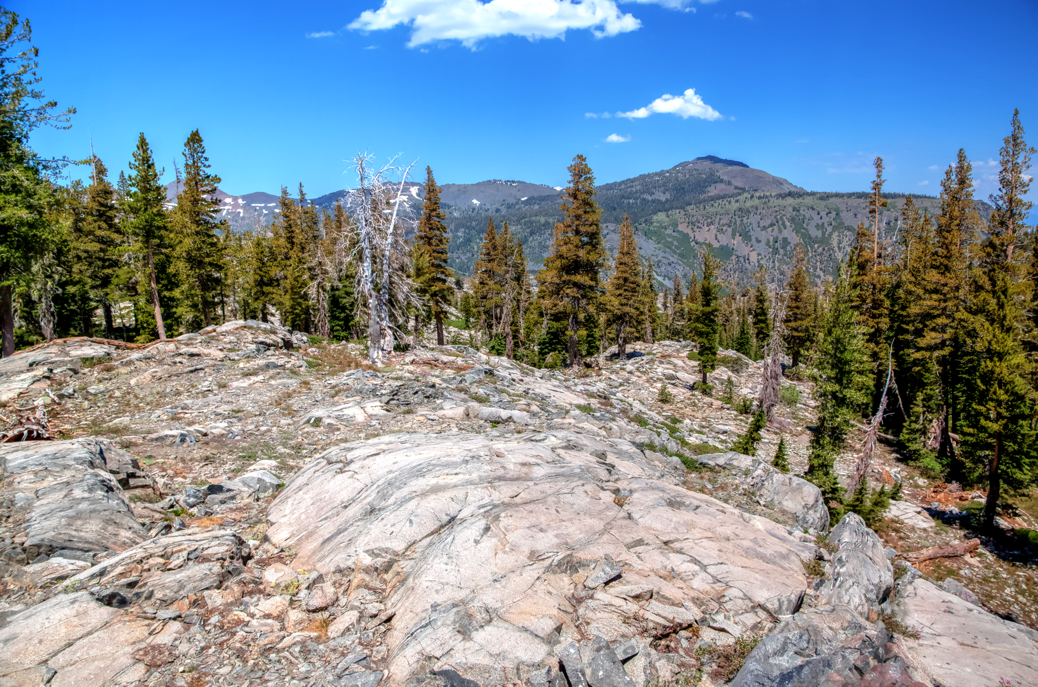
Heading towards Triangle Lake.
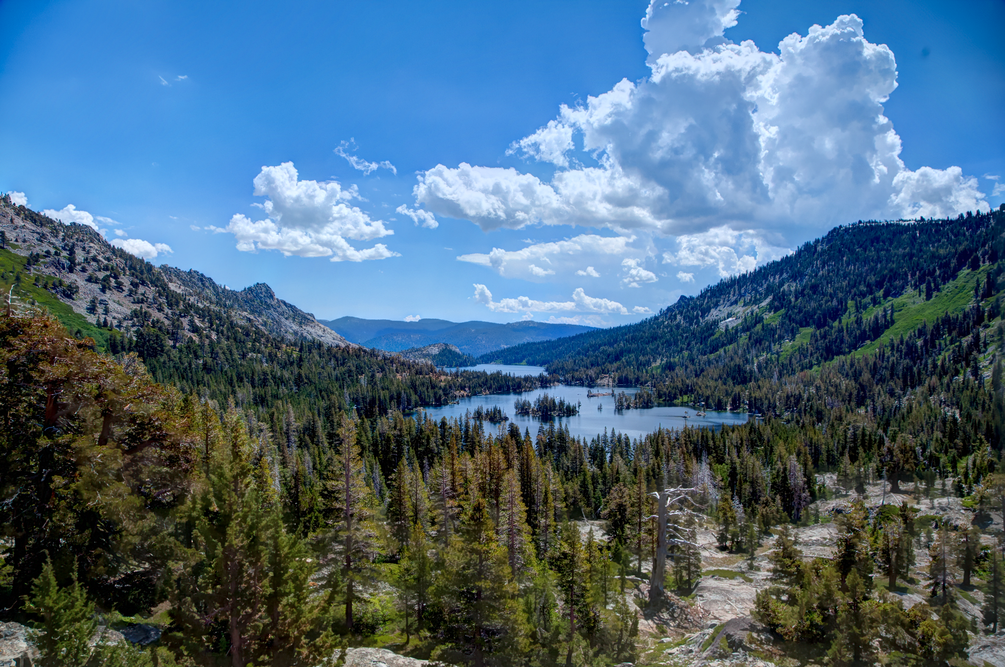
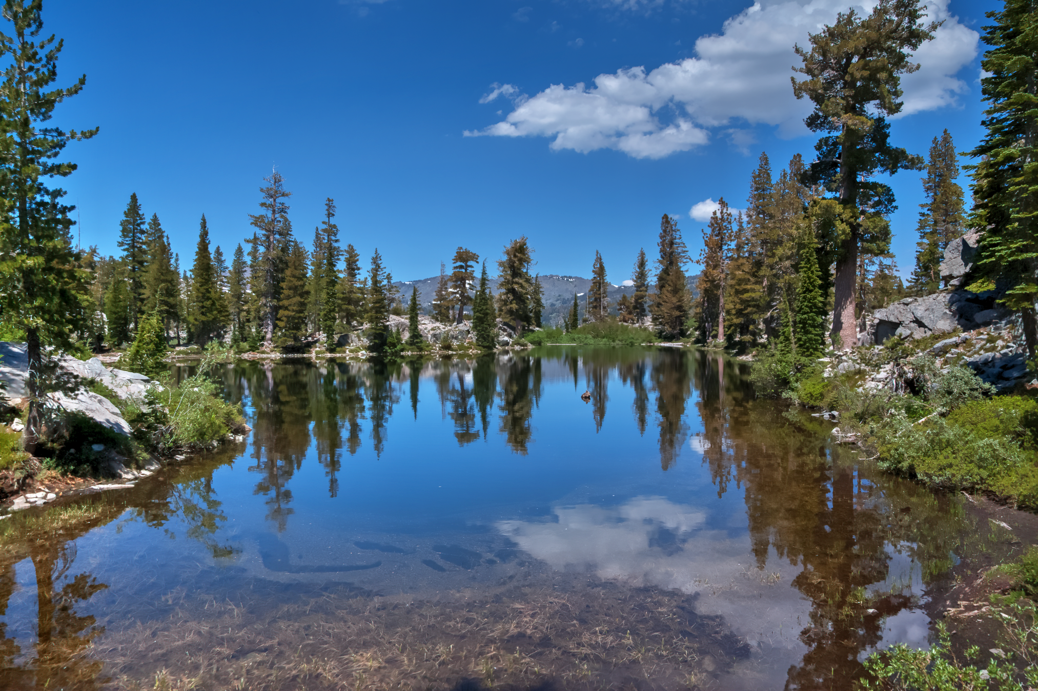
Triangle lake.

After Triangle Lake, the adventure continued onward and upward towards Lake Aloha (image below) about 5 miles away from Echo Lake.  Lake Aloha is a large body of water that was a highlight of my time in the area, here I enjoyed peaceful stillness of the water, the sun was perfect and a gentle breeze made for ideal napping conditions on a rock near the water.

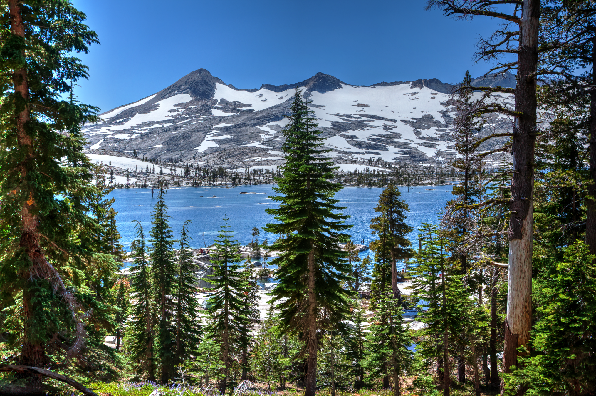
Crystal range towering above Lake Aloha.

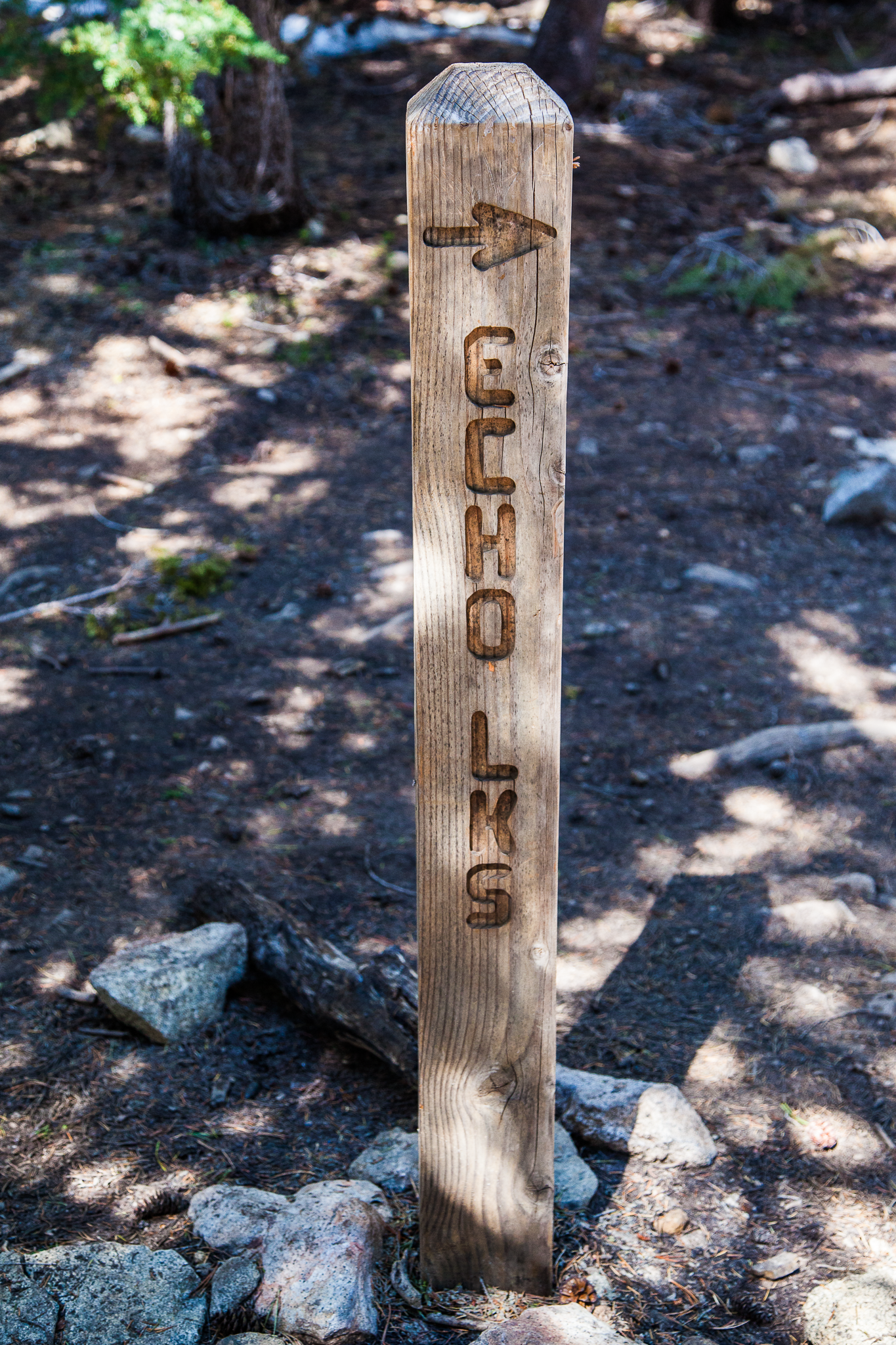
Sign posts guiding hikers and backpackers on the PCT.
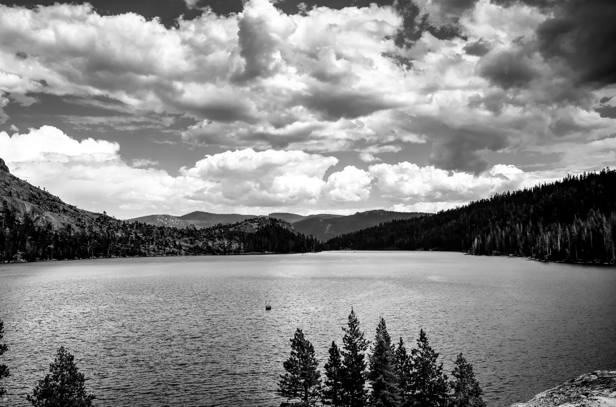
Weather around Echo Lake changed frequently and rapidly, there were a couple of hours of sporadic thunder and lightening, one minute there wasn’t a cloud in the sky, the next minute a series of storm clouds rolled through the area on there way towards Lake Tahoe.

Lower Echo Lake.

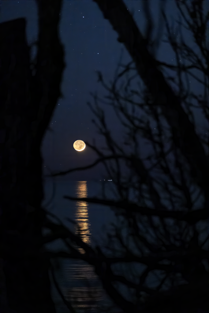
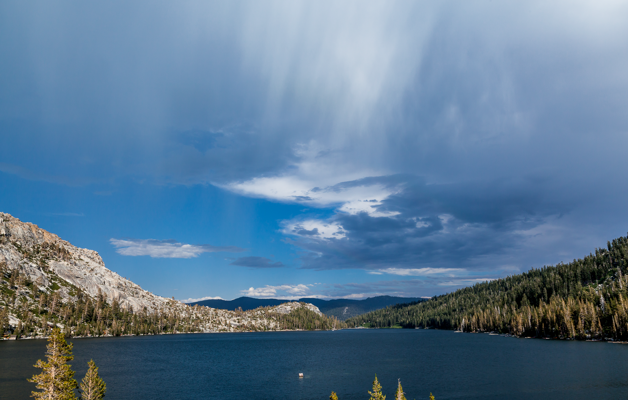
Verga seen over lower Echo Lake during a thunder storm.

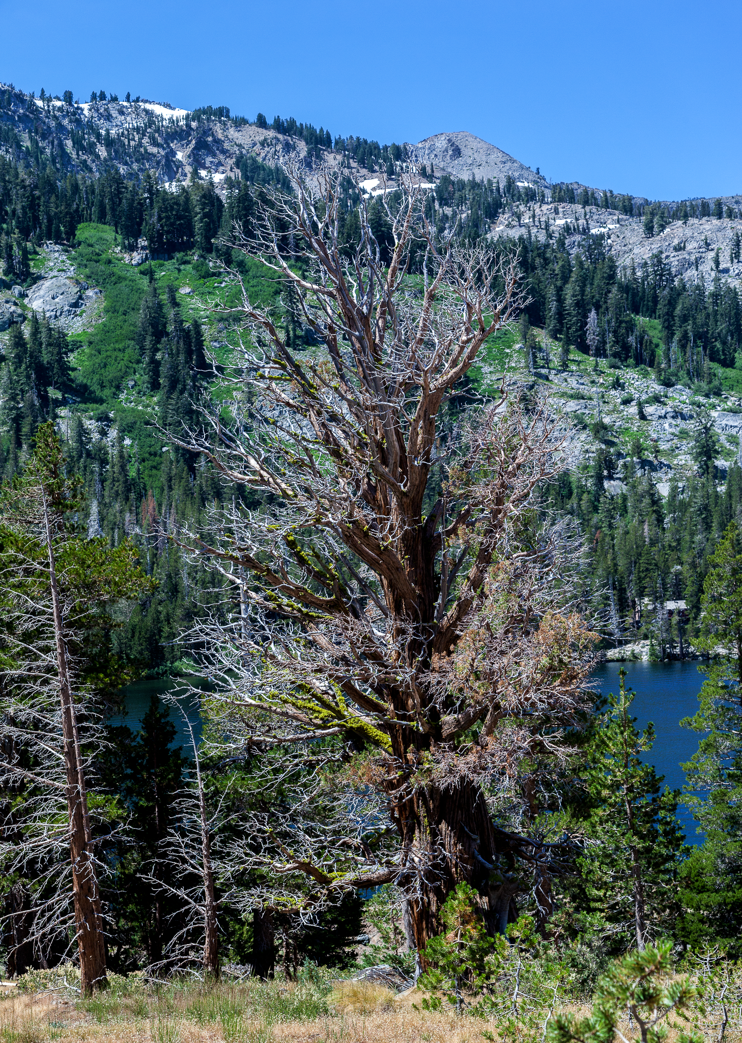
Some trees in the area are well over 1,000 years old.
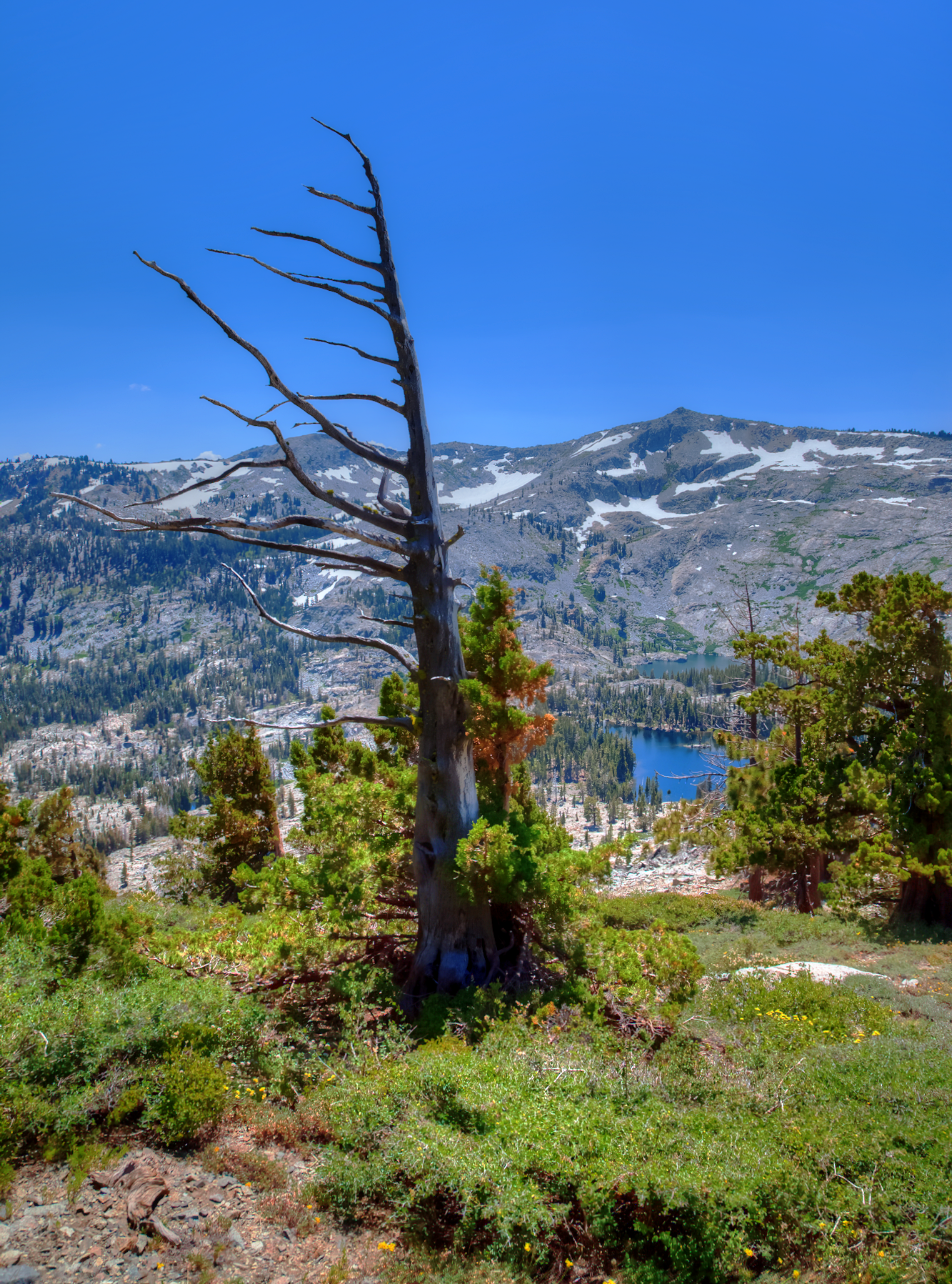
One phenomenon I continually noticed on runs were trees that had branches point in only one direction.  The locals explained that the wind can be a brutal element and creates these wind swept trees (image below).

Wind swept pine.

Lastly, one of my favorite experiences about my time at Echo Lake was sleeping outside under the stars.  The last time I slept outside was a couple of years ago on a rock in the ‘foothills’ of Santa Barbara.  On this particular evening there was a waxing gibbous moon in the night sky, even so, the Milky Way was quite visible, I don’t recall ever seeing so many stars under a moonlit sky.  I can only imagine what the Milky Way looks like here under a new moon. Perhaps life will be kind enough to allow me a return trip with a more appropriate lens for the environment and on a moonless night.

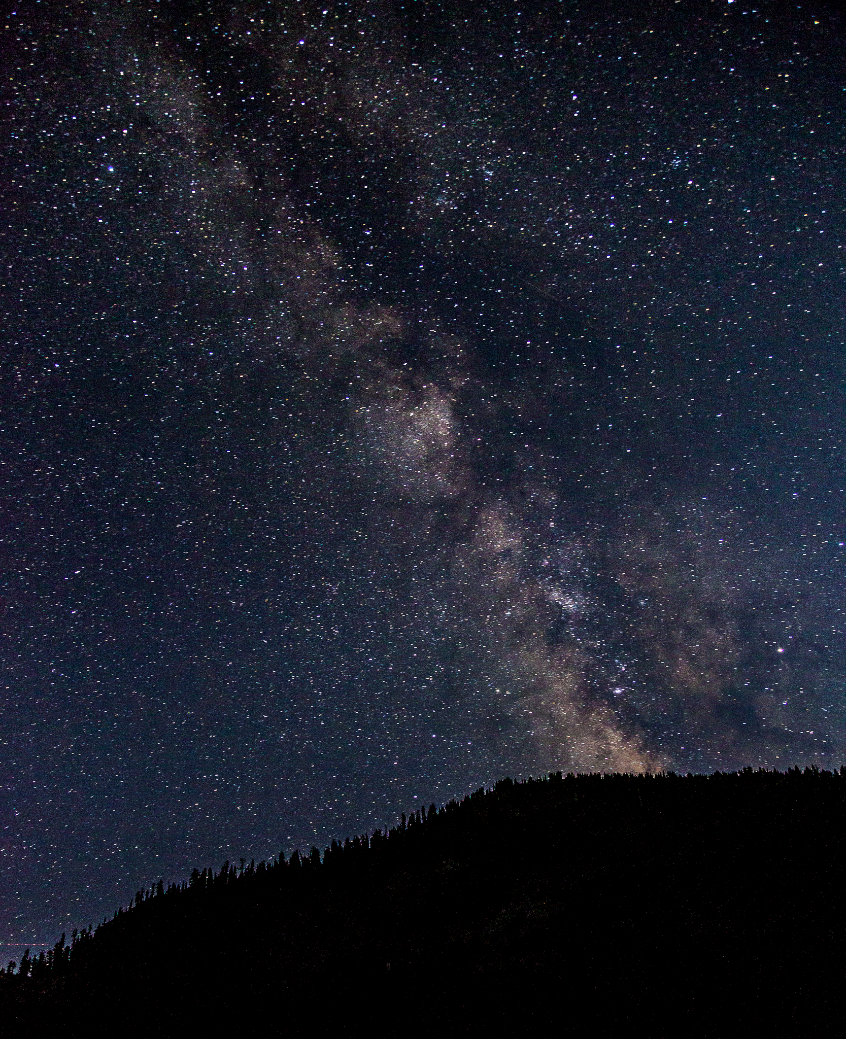
Milky Way from lower Echo Lake.

Born To Run Ultra-marathons Extravaganza 2017

In 2009, Christopher McDougall authored the national best-selling book, “Born to Run: A Hidden Tribe, Superathletes, and the Greatest Race the World has Never Seen” a story about arguably the most gifted natural runners on the planet, the Tarahumara Indians of the Copper Canyons in Northern Mexico.  Eight years later, on an 8,000 acre working cattle ranch in Los Olivos, California I was introduced to the Born to Run Ultra-marathons Extravaganza (BTR), an event that embodies many aspects of the running community, and to a larger extent humanity.

Every May, BTR is coordinated and directed by Luis Escobar (AKA, the Sheriff; pictured above), who also organizes the Santa Barbara Nine Trails Endurance Run, Santa Barbara Red Rock Trail Run, and La Cuesta the Ranch Trail Race in Santa Barbara County.  Mr. Escobar has been fortunate enough to visit the Copper Canyons and meet members of the elusive Tarahumara Indians, he has also raised funds to bring these incredible, largely unrecognized super athletes to the United States to participate in local running events.  Of these events, BTR is by far the ‘most dynamic,’ this 4-day event that is loaded with race options ranging from 0 to 200 miles in distance.  Here, participants can race as competitively or as casually as they please, evidenced by the genesis of the 0.0km event.  In addition to formal running events there are also other activities around “the ranch,” that registered participants may enjoy such as, wrestlemania, prom, cartwheel contests, the beer mile, or the no-talent show to name a few.  Course-record holders and first-time runners alike gathered for a fun-filled extravaganza of trail racing and shenanigans on a very warm and dusty weekend.

My BTR experience began with an impulsive entry into the infamous beer mile.  The rules were simple, chug a beer and run a quarter mile, 4 times.  After the second lap, my head began to grow heavy and eye sight became distorted only half-way through my first beer mile.  I was lucky enough to have an experienced and supportive crew to hand me my beers as I made my way back to the start line.  Friendly advice from strangers regarding pacing as well as taking extra precaution when belching on the run so as not to lose the alcohol, which was penalized by having to do an extra lap, was critical as I finished my first beer mile smiling ear to ear, albeit stumbling and heavily intoxicated.

After the beer mile I spent time hydrating, enjoying a delicious burrito, and spending time with friends.  But perhaps my most rewarding event began that evening at 8pm with an graveyard shift at the 4-day/200miler Oasis aid station directed by Mara and Manley Klassen.  This was the first time I’ve volunteered at a racing event, motivated by my desire to obtain a new and different perspective.

In prior races I’ve found myself in dire conditions and it was only through the kindness of wonderful strangers at aid stations that I have been able to achieve my goals.  Experiencing those moments of misery reminded me about the importance of aid stations and their volunteers, indeed, on this night I witnessed exhausted souls make there way to our oasis after completing their 5th or 6th 20-mile loop.  Many times I’ve arrived at an aid station during the course of an endurance race with an attitude,”what do you know” as volunteers asked me what I needed or how I felt.  Importantly, this weekend taught me that those “strangers,” most likely have much more experience than I do, as I later toured the course, I came across a,’whose, who’ of the local running community that showcased many 100-mile finishers and even a few of those mythical individuals who have conquered a 200-mile endurance race.  Throughout the night, athletes stumbled into our tent, at times bordering on delirium seeking momentary shelter and nourishment.  Whether it was a warm cup of soup, vasoline, a few minutes next to a heater as temperatures dropped to the 30s, or serving as an alarm while they enjoyed much needed sleep I felt privileged to provide support to people that were pushing their own limits.  Volunteering at this years BTR has perhaps been one of my most proudest contributions.  The experience was nothing short of inspirational as I witnessed both men and women fight through despair and push through the physical pain of blistered feet, severe dehydration, and extreme mental fatigue.

The following morning, after my volunteering shift ended I joined several friends for a portion of their 50K adventure.  It’s always a treat to spend time on the trails with friends and this was no different.  Saturday provided an incredible heat wave that effected everyone on the course, temperatures reached near 100 degrees on a course that was almost entirely exposed to the elements.  I rationalized the difficult times on the course as practice time being physically uncomfortable, entertaining a torrent of thoughts including the all too common, “why am I doing this?”  In the end, BTR was an entirely new experience that afforded me a new perspective on running and its my understanding that I missed out on several key events this year, which means I will have to return to BTR in 2018 as a seasoned veteran.


Santa Barbara Nine Trails

At 6:05 AM on Saturday morning, 11 year-old Sebastian Salsbury of Santa Barbara, California walked out onto the dark San Roque Rd. pavement in front of over a hundred trail runners, myself included, and led participants in the formal swearing in of the 2017 edition of the Santa Barbara Nine Trails Endurance Race.   As we raised our right hand, we repeated after Sebastian, “If I get hurt, lost, or die, its my own damn fault.”  Impressively, Sebastian is the youngest finisher in the history of Nine Trails, completing the course in 2016 at the age of 10, and again in 2017.  As runners made their way toward the Jesusita trailhead equipped with firefly-like headlamps lit one of the most rewarding days began on a course created 27 years ago in December 1990 by local icon Patsy Dorsey.  Patsy and friends sought to engineer a course that was challenging yet displayed the beauty of Santa Barbara’s front country via the local trail system.  In my brief ultra running experience Nine Trails has been the most physically daunting and exhilarating event.  Although 35-miles, Nine Trails veterans will tell you that it feels like running a tough 50-miler as a result of the over 11,000 feet of elevation gain.  This course is also notoriously known for providing Nine Trails virgins with a cathartic experience of the highest order.

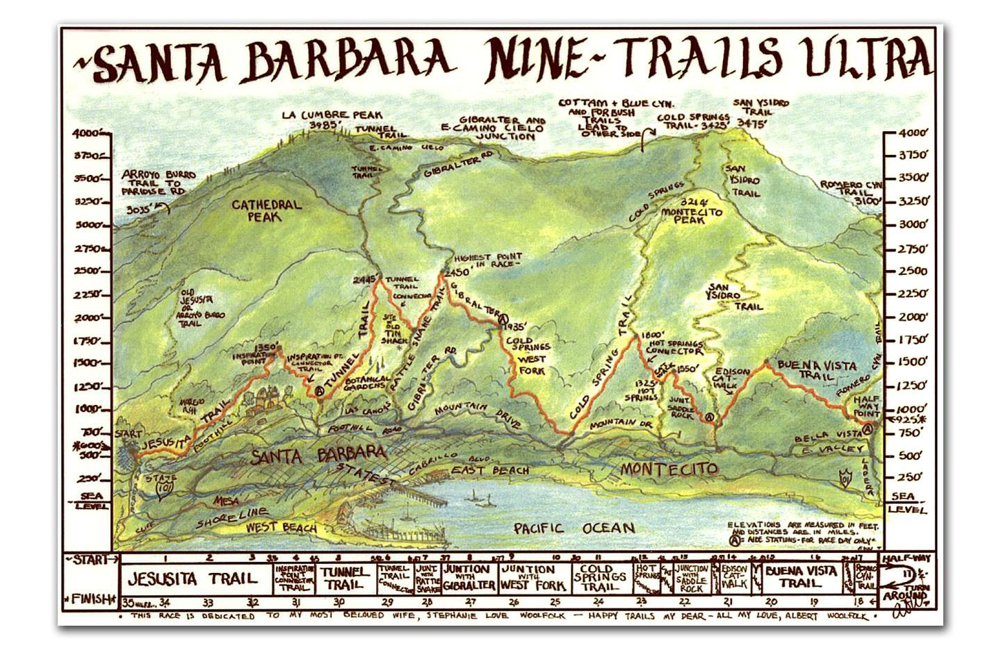
Approaching Inspiration Point. Photo:
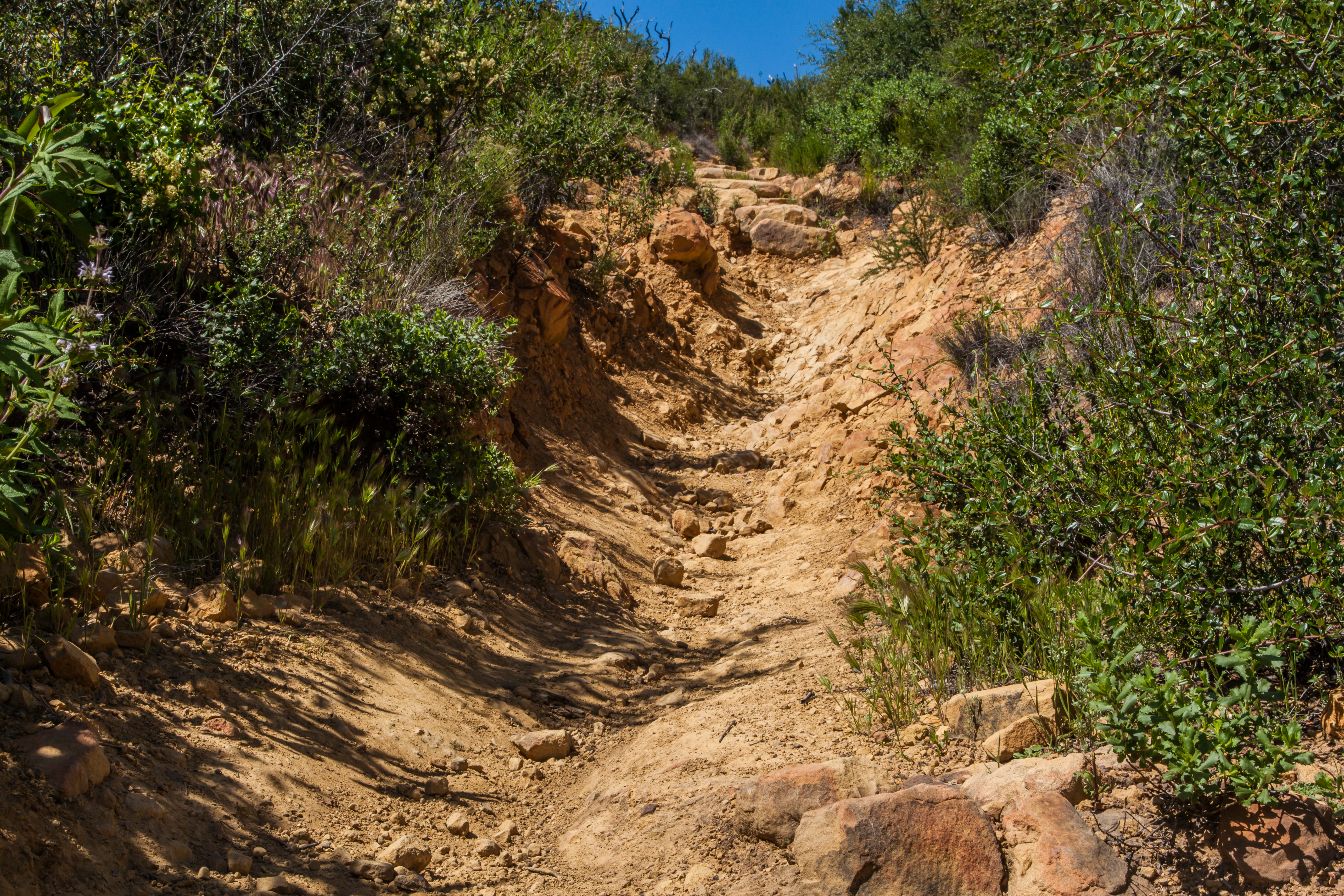
 Howie Stern.

In general, this vaunted course is teeming with steep, technical climbs and descents, from start to finish.  Chronologically, the course follows Jesusita trail over three miles culminating at the Inspiration Point connector trail, from there the course heads downhill towards the very steep and rocky Tunnel trail where it joins with the ensuing Tunnel trail connector.   After a very short stent on the connector this trail intersects with the Rattlesnake connector for approximately half a mile, although this segment on the return leg seems a lot longer and much less enjoyable.

Tunnel trail.

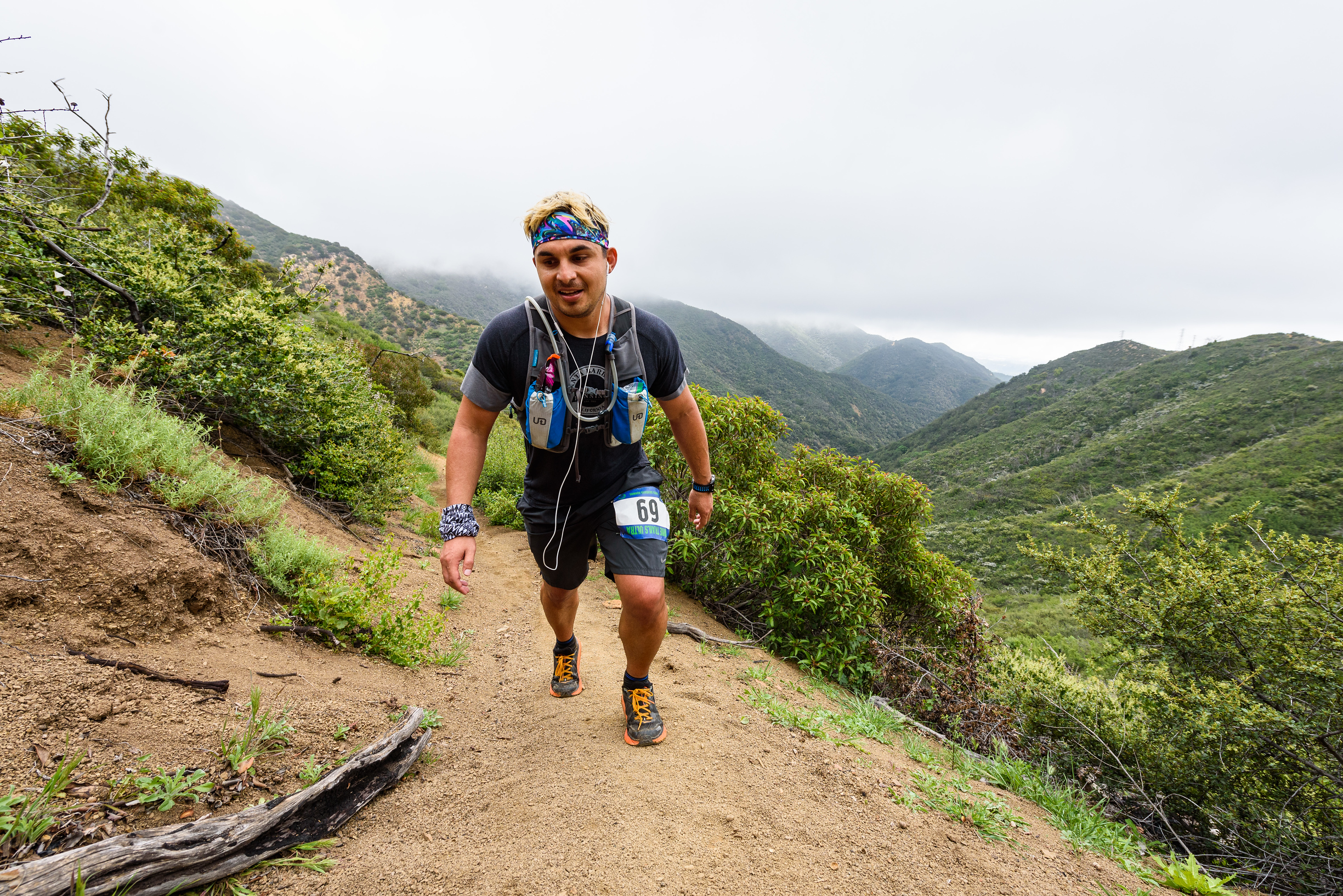
Return leg at West-fork Cold Spring/Gibraltar junction.  Photo: Howie Stern.

The Rattlesnake connector then leads runners through upper Rattlesnake Canyon ultimately meeting up with the only asphalt section, Gibraltar road.  After one and a half miles on the road, participants speed down West-Fork Cold Springs and onto Cold Spring trail itself.  Next, the course traverses the Hot Springs connector en route to Hot Springs trail and briefly onto Saddle rock.  From here, the Edison catwalk guides runners to Buena Vista trail and finally heads down Romero Canyon for some much needed nutritional aid, only to turn around and run all the way back to the start line.

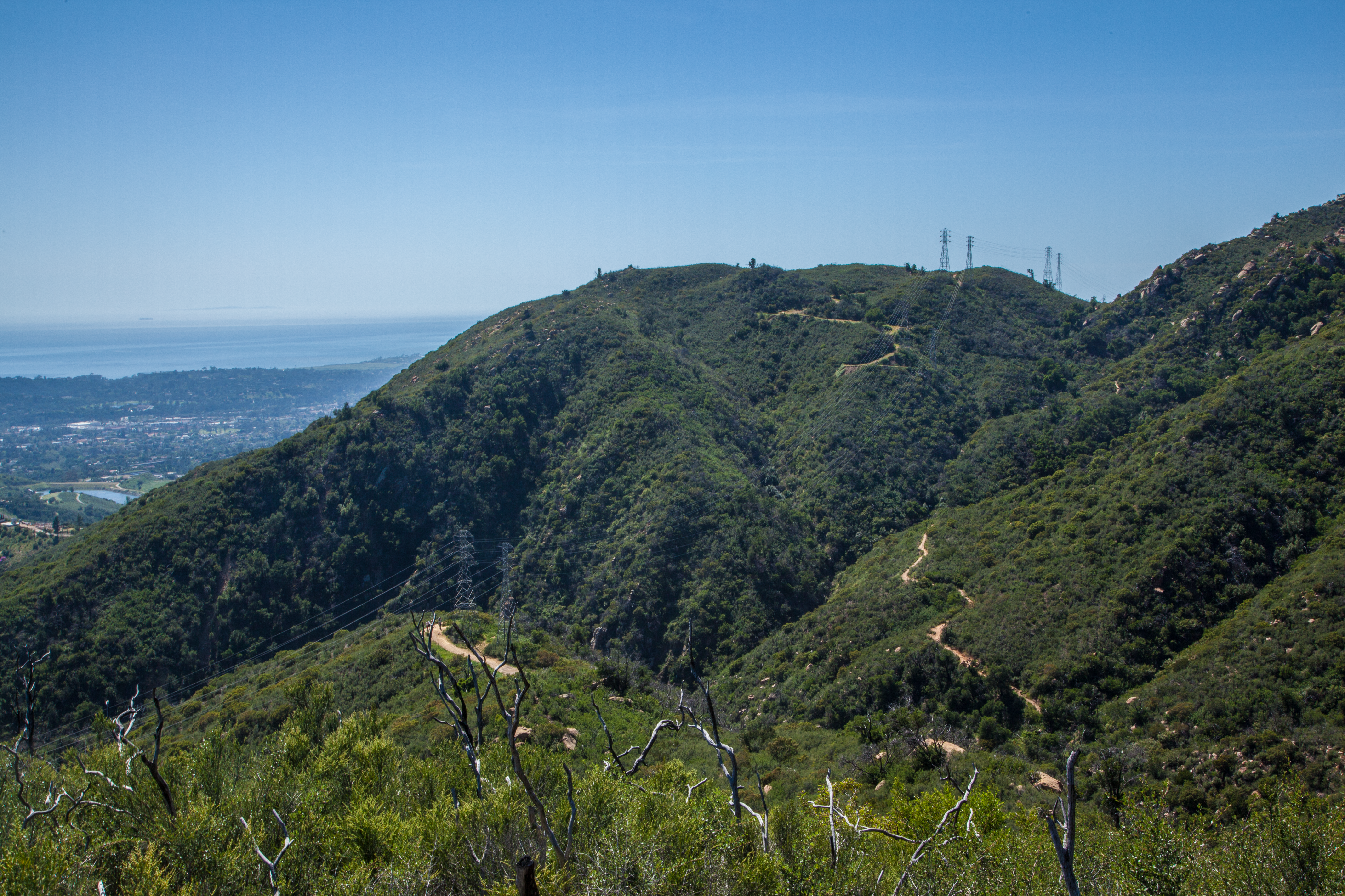
Tunnel trail connector, looking towards Inspiration Point.  Almost home.

The out-and-back format of Nine Trails provides a nice way of allowing all participants, fast or slow, to cross paths.  Indeed, in my experience sometimes seeing a familiar face for a sweaty high-five, a few words of encouragement, or a simple smile can be as critical and uplifting as nutrition itself.  However, this also means each section of Nine Trails presents a difficult challenge either on the outbound or return leg.  Downhill sections of the course on the outbound leg naturally become seemingly never ending uphill sections on tired legs, making this a course that truly gives runners no breaks.

After eight and a half hours of trails I completed historic and iconic Santa Barbara Nine Trails Endurance Race, thus completing an event to remember.  Following the race I decided to wait at the finish line to watch as fellow runners completed their own journey through Nine Trails.  Surprisingly, I felt as much excitement witnessing participants survive/conquer Nine Trails as I felt running the race itself.  Throughout my experience, trail running has taught me many things, not only about the art of ultra-running, but about life, especially through both the successes and perceived failures.  The community of athletes I share the trails on a weekly basis exist happily without ego, a valuable trait for anyone to learn.  Its hard to maintain any sort of ego when you’re throwing up a chocolate Ensure shake on the side of the trail.

Whether its laughing, sharing stories, or simply gasping for oxygen while climbing, “the wall” or “the wall 2.0”, trail running has opened up a new avenue, one that has allowed me to smile comfortably.  In part due to the welcoming and supportive environment, chalked full with people as crazy as me.

There are many folks to thank, first, the Santa Barbara trail runners for their constant encouragement and willingness to share their wealth of knowledge and experience, without it, I doubt I would undertake these challenges.  I would also like to thank Luis Escobar for organizing and executing another exceptional event.  This is my second ‘Luis’ event, the first being Red Rock 2016, a memorable race in its own right, a race loaded with torrential downpours and freezing temperatures.

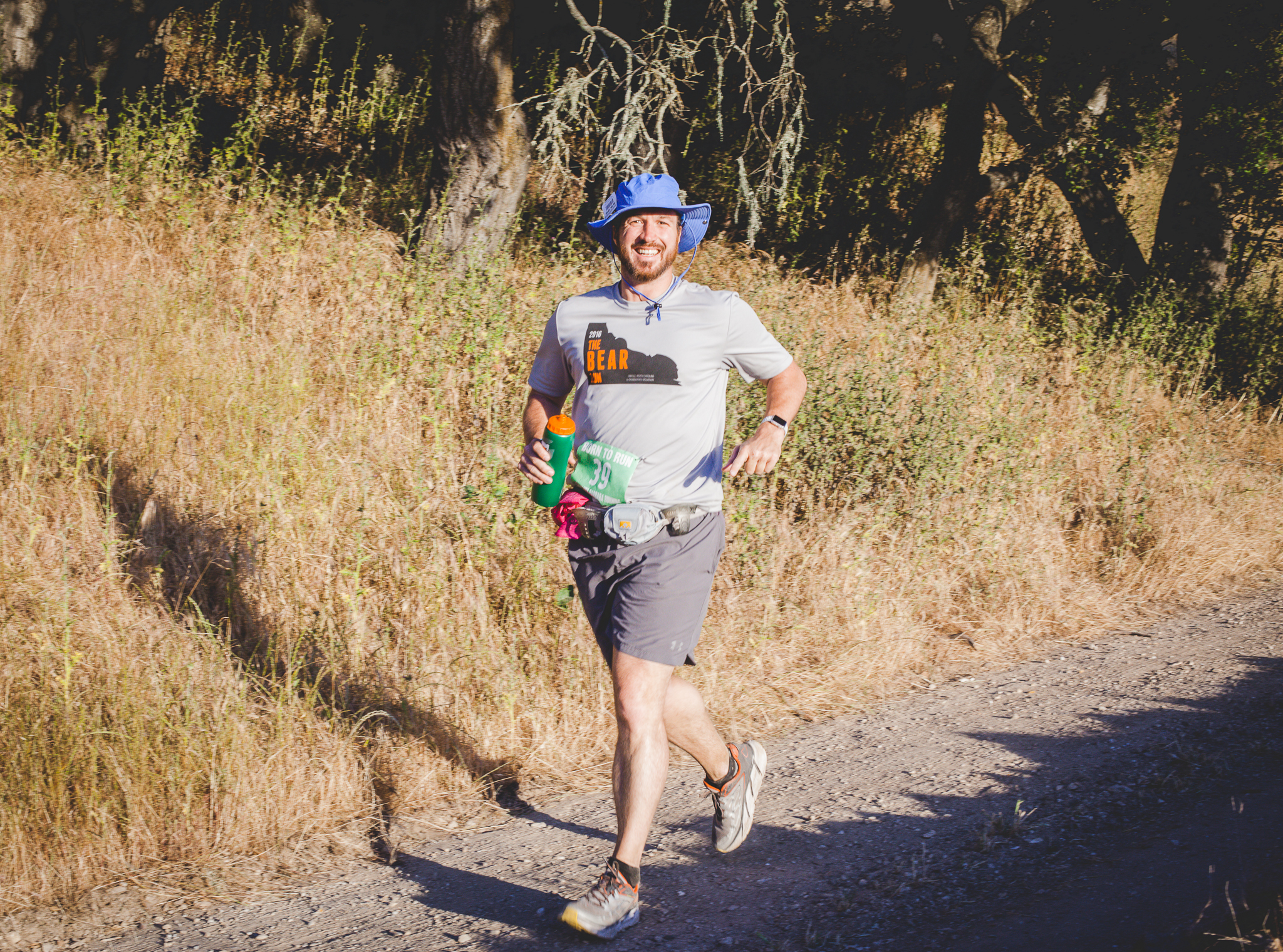
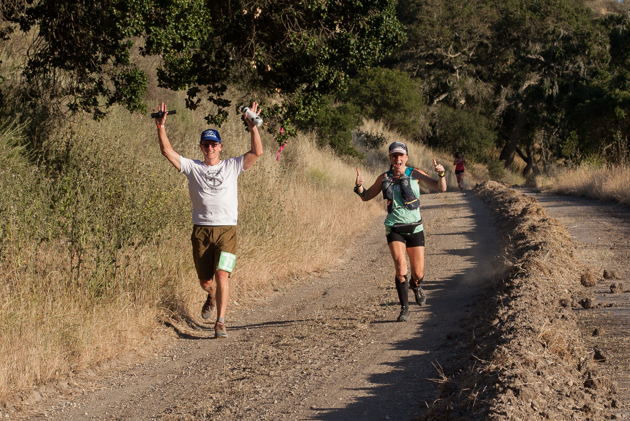
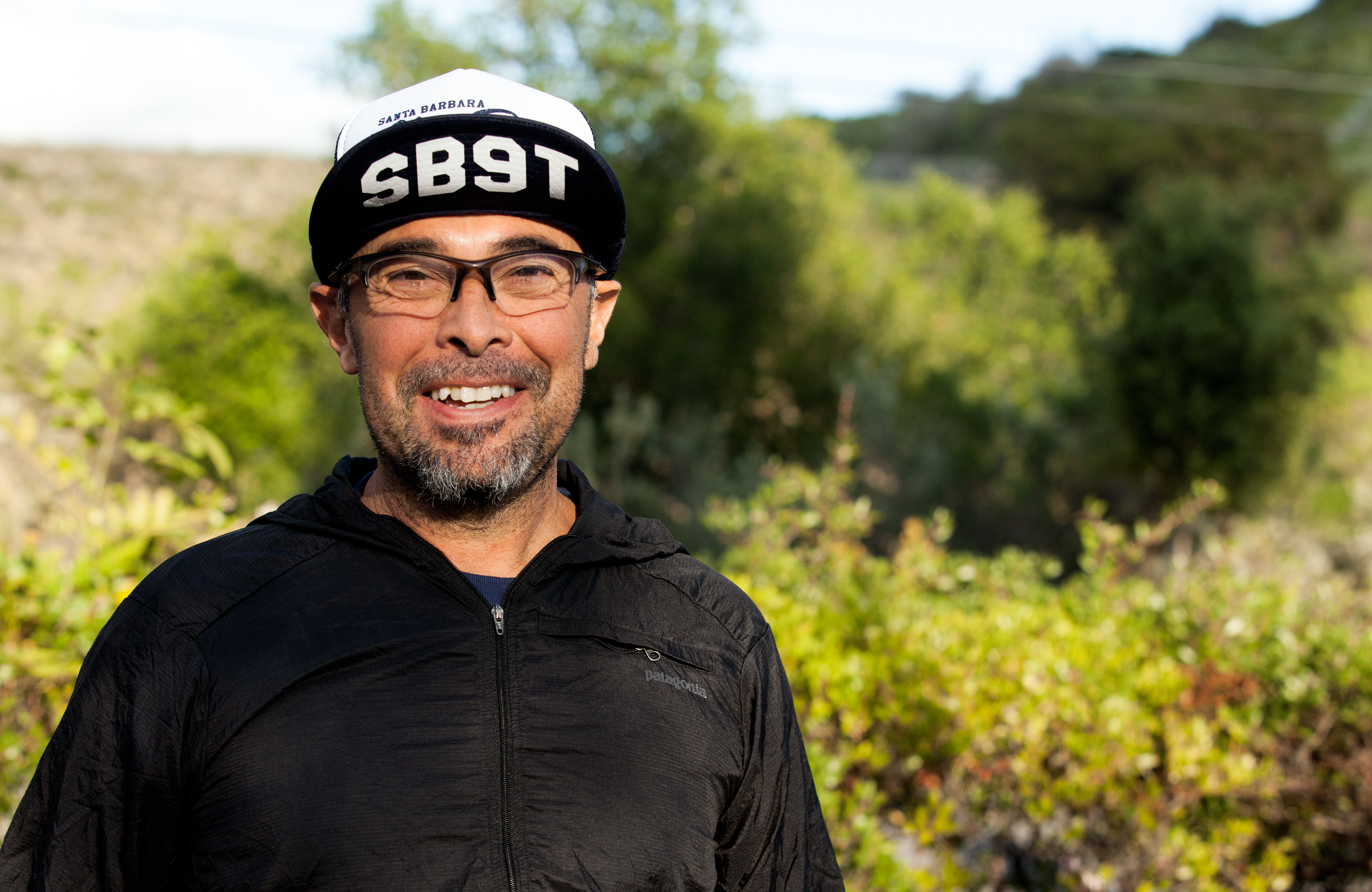
Race Director: Luis Escobar.  Pre-race remarks, “This course is hard as shit, it’s over 11,000 ft of this, and this.”

I can’t thank Patsy Dorsey enough for greeting everyone at the finish line with a genuinely enthusiastic hug (I’d take a Patsy Dorsey hug over a medal any day).  After speaking with Patsy, I was fortunate enough to gain a better sense of appreciation by learning about the history and challenges that went into creating this magnificent annual event.  Additionally, I want to thank my friends, colleagues, and trainers for their support, it was especially wonderful to receive so many encouraging emails, texts, phone calls etc., from across the globe prior to race day.  Lastly, but most certainly not least, a special thank you to all of the volunteers who marked the course, as well as provided support to all the participants on race day.

In the end, Nine Trails left me with two thoughts, first, “what the hell just happened?”, and secondly I hope to see more of my amazing friends at 6:00AM March 24th, 2018 for the next edition of SB9T.

Creator and founder of Santa Barbara Nine Trails: Patsy Dorsey.